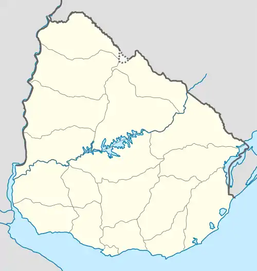
Salinas, Uruguay
Salinas is a city and resort of the Costa de Oro in the Canelones Department of southern Uruguay.
Salinas | |
|---|---|
City & Municipality | |
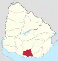
 Salinas Location in Uruguay | |
| Coordinates: 34°47′0″S 55°50′0″W | |
| Country | |
| Department | |
| Population (2011 Census) | |
| • Total | 8,626 |
| Time zone | UTC -3 |
| Postal code | 15100 |
| Dial plan | +598 437 (+5 digits) |
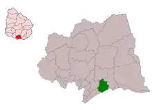
Salinas is also the name of the municipality to which the town belongs and which includes the resort towns Marindia, Pinamar–Pinepark, Neptunia and rural areas to their north.
Location
The city is located on Km.39 of Ruta Interbalnearia, and at its intersection with Route 87. It borders the resorts Pinamar-Pinepark to the west and Marindia to the east.
History
On 1 July 1982, its status was elevated from "Balneario" (resort) to "Ciudad" (city) by the Act of Ley Nº 15.283.[1]
Population
According to the 2011 census, Salinas had a population of 8,626.[2] In 2010 the Intendencia de Canelones had estimated a population of 16,874 for the municipality during the elections.[3]
| Year | Population |
|---|---|
| 1963 | 931 |
| 1975 | 1,866 |
| 1985 | 2,523 |
| 1996 | 5,279 |
| 2004 | 6,574 |
| 2011 | 8,626 |
Source: Instituto Nacional de Estadística de Uruguay[4]
Places of worship
- St. Elizabeth of Hungary Parish Church (Roman Catholic)
References
- "Ley Nº 15.283". República Oriental del Uruguay, Poder Legislativo. 1982. Archived from the original on 6 October 2014. Retrieved 9 September 2012.
- "Censos 2011 Cuadros Canelones". INE. 2012. Retrieved 25 August 2012.
- "ELECCIONES - Canelones". El Observador. Archived from the original on 12 March 2012. Retrieved 2 February 2012.
- "Statistics of urban localities (1963–2004)" (PDF). INE. 2012. Retrieved 9 September 2012.
External links
| Wikimedia Commons has media related to Salinas, Canelones. |
|
Capital: Canelones | ||
| Towns and villages |
|  |
| Resorts of the Ciudad de la Costa | ||
| Sights |
| |