Sankt Veit im Mühlkreis
Sankt Veit im Mühlkreis is a municipality in the district of Rohrbach in the Austrian state of Upper Austria.
Sankt Veit im Mühlkreis | |
|---|---|
 Coat of arms | |
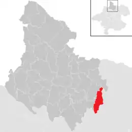 Location in the district | |
 Sankt Veit im Mühlkreis Location within Austria | |
| Coordinates: 48°28′16″N 14°09′53″E | |
| Country | Austria |
| State | Upper Austria |
| District | Rohrbach |
| Government | |
| • Mayor | Elisabeth Rechberger (ÖVP) |
| Area | |
| • Total | 16.24 km2 (6.27 sq mi) |
| Elevation | 686 m (2,251 ft) |
| Population (2018-01-01)[2] | |
| • Total | 1,206 |
| • Density | 74/km2 (190/sq mi) |
| Time zone | UTC+1 (CET) |
| • Summer (DST) | UTC+2 (CEST) |
| Postal code | 4173 |
| Area code | 07217 |
| Vehicle registration | RO |
| Website | www.st-veit.ooe.gv.at |
Geography
Sankt Veit im Mühlkreis lies in the far east of the district of Rohrbach in the upper Mühlviertel. About 27 percent of the municipality is forest, and 67 percent is farmland.
References
- "Dauersiedlungsraum der Gemeinden Politischen Bezirke und Bundesländer - Gebietsstand 1.1.2018". Statistics Austria. Retrieved 10 March 2019.
- "Einwohnerzahl 1.1.2018 nach Gemeinden mit Status, Gebietsstand 1.1.2018". Statistics Austria. Retrieved 9 March 2019.
| Authority control |
|---|
This article is issued from Wikipedia. The text is licensed under Creative Commons - Attribution - Sharealike. Additional terms may apply for the media files.