Sarjapura
Sarjapura is a residential & industrial area situated in Bangalore, Karnataka, India. It is a hobli of Anekal taluk, Bangalore Urban district and is located towards the south-east of Bangalore. It is one of the industrial areas in Anekal taluk, with others being Attibele, Bommasandra, Chandapura, Electronic City and Jigani.
Sarjapura | |
|---|---|
Town | |
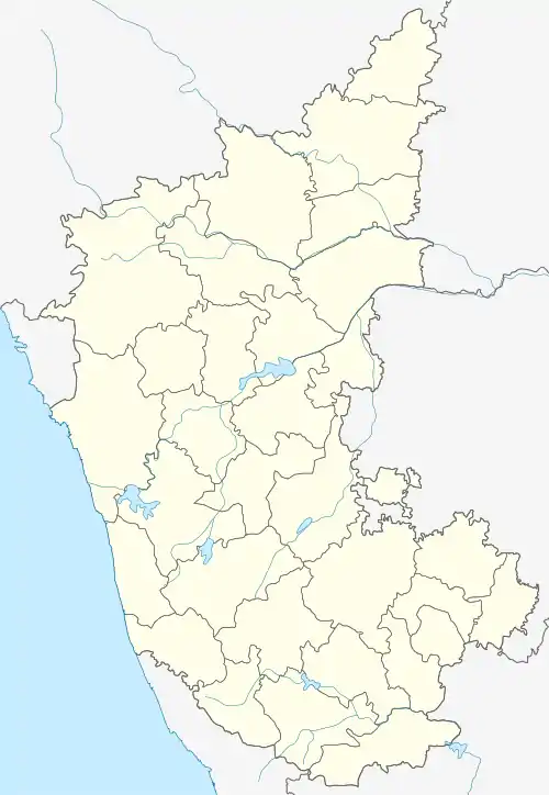 Sarjapura Location in Karnataka  Sarjapura Sarjapura (India) | |
| Coordinates: 12.860°N 77.786°E | |
| Country | India |
| State | Karnataka |
| District | Bengaluru Urban |
| Metro | Bengaluru |
| Languages | |
| • Official | Kannada |
| Time zone | UTC+5:30 (IST) |
| Postal Index Number | 562125 |
| ISO 3166 code | IN-KA |
| Vehicle registration | KA |
| Website | karnataka |
Sarjapura is a fast-developing part of Bangalore with good road connectivity to key IT cluster areas like Whitefield (15 km), Electronic City (19 km), Outer Ring Road (16 km), Marathahalli and Koramangala. Bengaluru-based IT giant Infosys acquired 202 acres of land in Sarjapura to set up an IT SEZ, but no development has taken place on this land for several years as of 2016. In October 2013, the Azim Premji Foundation announced acquisition of 50 acres of land in Sarjapura for a world-class university.[1]
Demographics
As of 2001 India census, Sarjapura had a population of 8620, with 4370 males and 4250 females.[2][3]
References
- Premji Foundation extends focus to health, nutrition
- Village code= 2087400 "Census of India : Villages with population 5000 & above". Registrar General & Census Commissioner, India. Retrieved 18 December 2008.
- "Yahoomaps India :". Retrieved 18 December 2008. Sarjapura, Bangalore Urban, Karnataka
