Marathahalli
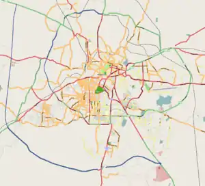
Marathahalli is an eastern suburb of Bangalore city in Karnataka state of India. The locality is named after the Marut fighter aircraft developed at a HAL facility nearby.[2]
Marathahalli | |
|---|---|
suburb | |
.jpg.webp)    (Clockwise from top) Kalamandir junction at night, An apartment complex in Marathahalli, Old Airport Road in Marathahalli, Marathahalli Bridge | |
 Marathahalli | |
| Coordinates: 12.956194°N 77.701943°E | |
| Country | India |
| State | Karnataka |
| District | Bangalore |
| Metro | Bangalore |
| Languages | |
| • Official | Kannada |
| Time zone | UTC+5:30 (IST) |
| PIN | 560037[1] |
| Telephone code | 080 |
| Vehicle registration | KA-61 |
Connectivity
A six-lane railway overbridge near Marathahalli Junction connects Kundalahalli area and HAL Airport Road. Marathahalli has emerged as a major bus stop for long distance Buses from Bangalore. The international airport is located at a distance of 46 km from Marathahalli through the Outer Ring Road and Bangalore Hyderabad Highway. The nearest railway station from Marathahalli is located at Krishnarajapuram railway station which is at a distance of 7.7 km [3][4][5]
The pin code of Marathahalli Colony, Bangalore, Karnataka is 560037. The first two digit of pin code denotes 56, which is listed in Karnataka.
References
- "Pin code of Marathahalli". 10 July 2020.
- "Stories behind names of some Bengaluru localities". Deccan Herald. 13 May 2019.
- "Marathahalli: An urban village". The New Indian Express. 7 July 2009. Retrieved 22 July 2009.
- "Marathahalli overbridge thrown open to traffic". The Hindu. 9 April 2008. Retrieved 22 July 2009.
- Aruni, S K (12 January 2012). "Of inscriptions and the medieval period" (Bangalore). The Hindu. Retrieved 16 January 2015.
| Wikimedia Commons has media related to Marathahalli. |