Sears Rock
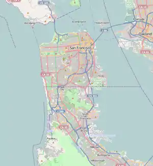
Sears Rock (sometimes Sear's Rock) is a small sub-surface rock about 0.7 miles (1.1 km) west of Rodeo Beach in the Pacific Ocean off Marin County, California.[3] It is the highest point of the larger Centissima Reef, a sub-surface navigation hazard east of the Bonita Channel, although some reports refer to the two as separate features.
 Sears Rock 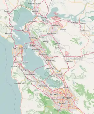 Sears Rock  Sears Rock  Sears Rock | |
| Geography | |
|---|---|
| Location | Northern California |
| Coordinates | 37°49′43″N 122°32′57″W[1] |
| Adjacent bodies of water | Pacific Ocean |
| Administration | |
| State | |
| County | Marin |
A 1908 report on San Francisco Bay stated that a survey was then in progress to investigate the cost of removing both Sears Rock and Centissima Reef, along with Mission Bay Rock and Sonoma Rock, near Mission Rock in San Francisco Bay.[4] In 1922, Representative Julius Kahn told a congressional committee that neither Sears Rock nor Centissima posed a navigation hazard as they had been blasted several years previously: "They are not visible, neither of them. The Sear's was blasted to a depth of 40 feet some five or six years ago. It is never visible at all. There are some people who think that it ought to be blasted to a depth of 45 feet, but the men who navigate the vessels think 40 feet for the present time a sufficient depth."[5]
References
- "Sears Rock". Geographic Names Information System. United States Geological Survey.
- "Sears Rock". Geographic Names Information System. United States Geological Survey.
- USGS
- Luther, Wagoner; Heuer, William Henry (1908). San Francisco Harbor, its Commerce and Docks: With a Complete Plan for Development, being the Report of the Engineers of the Federated Harbor Improvement Associations. Britton & Rey. pp. 9–10. Retrieved 7 February 2012.
- United States. Congress. House. Committee on Rivers and Harbors (February 7, 1922). San Francisco Harbor, Calif: Hearings on the Subject of the Improvement of Entrance to San Francisco Harbor, House of Representatives, Sixty-Seventh Congress, Second Session. Government Printing Office. pp. 4–5. Retrieved February 7, 2012.
