Sewell, Bedfordshire
Sewell is a hamlet located in the Central Bedfordshire district of Bedfordshire, England.
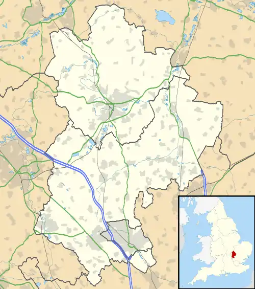
Sewell is a small rural settlement, though it is located near to the town of Dunstable (and therefore the wider Luton/Dunstable Urban Area). The settlement forms part of the Houghton Regis civil parish. It is north of Dunstable Downs at the northern edge of the Chiltern Hills.
The hamlet is beside London and North Western Railway's disused branch line that linked Dunstable with the main line at Leighton Buzzard. This is now a cycle route and consists of Sewell Cutting which heads towards Dunstable and a long embankment in the direction of Stanbridge. One hundred and fifty metres south of the former railway track are Maiden Bower, an Iron Age hill fort and Totternhoe Chalk Quarry.
Maiden Bower used to consist of a roughly circular bank topped with wooden posts. It had a diameter averaging around 225 metres. It now has a 3 metre high hedged bank, 100 metres of which has been undermined by the cliffs of the adjacent quarry. The enclosure contains the buried remains of a small Roman building. Previous excavation of the ditches has discovered ancient human remains.[1]
An early Bronze Age hoard was found in Sewell in 1968 and consists of a beaker, wrist-guard, toggle and pin, all now in the British Museum's collection.[2]
References
- Historic England, "Maiden Bower hillfort", Historic England, 24/jul/2017
- British Museum collection