Shikaripur
Shikaripur or Shikaripura is a town in Shimoga district in the Indian state of Karnataka. It is the headquarters of Shikaripur taluk.
Shikaripur
Shikaripura | |
|---|---|
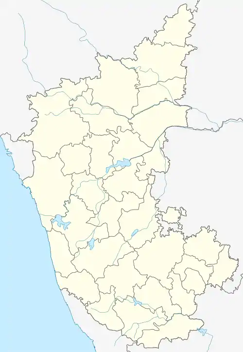 Shikaripur Location in Karnataka, India | |
| Coordinates: 14.27°N 75.35°E | |
| Country | |
| State | Karnataka |
| District | Shimoga |
| Subdivision | Sagara |
| Area | |
| • Total | 18.76 km2 (7.24 sq mi) |
| Elevation | 603 m (1,978 ft) |
| Population (2001) | |
| • Total | 31,508 |
| • Density | 1,700/km2 (4,300/sq mi) |
| Demonym(s) | Shikaripuria, Shikaripuri |
| Languages | |
| • Official | Kannada |
| Time zone | UTC+5:30 (IST) |
| Vehicle registration | KA-15 (Sagara RTO) [1] |
| Vidhana Sabha constituency | Shikarpura |
| current chief minister of karnataka b s yediyurappa is from this place | |
Geography
Shikaripur is located at 14.27°N 75.35°E.[2] It has an average elevation of 603 metres (1978 feet). It lies between plain land of Bayaluseeme and tropical forests of Malenadu.
Demographics

The Huccharaya Swamy temple in Shikaripura
As of 2001 India census,[3] Shikaripura had a population of 31,508. Males constituted 51% of the population and females 49%. Shikaripura had an average literacy rate of 71%, higher than the national average of 59.5%: male literacy was 75%, and female literacy was 67%. In Shikarpur, 12% of the population were under 6 years of age.
References
- Sagara RTO
- Falling Rain Genomics, Inc - Shikarpur
- "Census of India 2001: Data from the 2001 Census, including cities, villages and towns (Provisional)". Census Commission of India. Archived from the original on 16 June 2004. Retrieved 1 November 2008.
External links
| Wikimedia Commons has media related to Shikaripur. |
This article is issued from Wikipedia. The text is licensed under Creative Commons - Attribution - Sharealike. Additional terms may apply for the media files.
