Shoal Lake Cree Nation
The Shoal Lake Cree Nation is a Swampy Cree First Nations band government in Saskatchewan, Canada located 98 kilometres (61 mi) east of Nipawin. The Cree First Nation is on the Carrot River and can be accessed by Highway 55. Nearby to the west is the Red Earth First Nation.
| People | Swampy Cree |
|---|---|
| Treaty | Treaty 5 |
| Headquarters | Pakwaw |
| Province | Saskatchewan |
| Land[1] | |
| Reserve(s) | |
| Land area | 14.79 km2 |
| Population (2019)[1] | |
| On reserve | 874 |
| On other land | 1 |
| Off reserve | 244 |
| Total population | 1119 |
| Government[1] | |
| Chief | Marcel Head |
| Council | Berl Whitecap, Edgar Cook, Rayme Whitecap and Rose Sinclair
|
| Tribal Council[1] | |
| Prince Albert Grand Council | |
Demographics
The total registered population was 1,081 as of October, 2018 with 889 members living on reserve. Shoal Lake First Nation has one reserve "Shoal Lake 28A" which has an area of 1,479 hectares (3,650 acres) at coordinates 53.4812°N 102.6297°W.[1]
Government
Through a Custom Electoral System the members elect a Chief and 4 councillors. The band office is located in the settlement of Pakwaw Lake on the reserve.[1]
Education
The Wacihk Education Complex in Pakwaw Lake offers kindergarten to grade 12 to about 220 students.[2][3]
References
- "First Nation Detail". Indigenous and Northern Affairs Canada. Government of Canada. Retrieved September 10, 2019.
- "Wacihk Education Complex". Retrieved 2015-01-31.
- "Saskbiz community profile". Retrieved 2015-01-31.
| Cities | 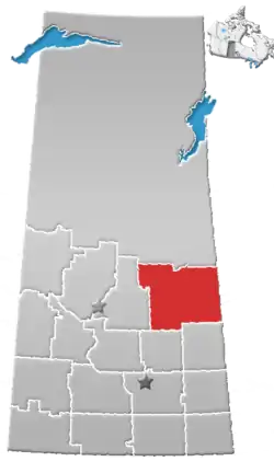 | |
|---|---|---|
| Towns | ||
| Villages | ||
| Resort villages | ||
| Rural municipalities |
| |
| First Nations | ||
| Indian reserves | ||
| Unincorporated communities | ||