Skjerjavatnet
Skjerjavatnet is a lake on the border of the municipalities of Vaksdal and Modalen in Vestland county, Norway. The 7.37-square-kilometre (2.85 sq mi) lake sits at an elevation of 964 metres (3,163 ft) above sea level, in the mountains between the Modalen and Eksingedalen valleys.[1] The southwest and northeast ends of the lake are both dammed up so that the lake can be regulated for hydroelectric power.
| Skjerjavatnet | |
|---|---|
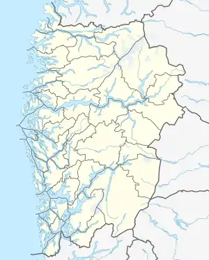 Skjerjavatnet Location of the lake Show map of Vestland Skjerjavatnet Skjerjavatnet (Norway) Show map of Norway | |
| Location | Modalen and Vaksdal, Vestland |
| Coordinates | 60°52′15″N 06°06′28″E |
| Basin countries | Norway |
| Max. length | 7.6 kilometres (4.7 mi) |
| Max. width | 1.5 kilometres (0.93 mi) |
| Surface area | 7.37 km2 (2.85 sq mi) |
| Shore length1 | 34.67 kilometres (21.54 mi) |
| Surface elevation | 964 metres (3,163 ft) |
| References | NVE |
| 1 Shore length is not a well-defined measure. | |
See also
- List of lakes in Norway
References
- "Skjerjavatnet" (in Norwegian). yr.no. Retrieved 2014-03-20.
This article is issued from Wikipedia. The text is licensed under Creative Commons - Attribution - Sharealike. Additional terms may apply for the media files.