Sootea
Sootea[1] is located under Naduar revenue circle, under Tezpur sub-division, formerly in the district of Sonitpur but at present in the district of Biswanath, Assam state, India.
Sootea
Chatia | |
|---|---|
Village/Town | |
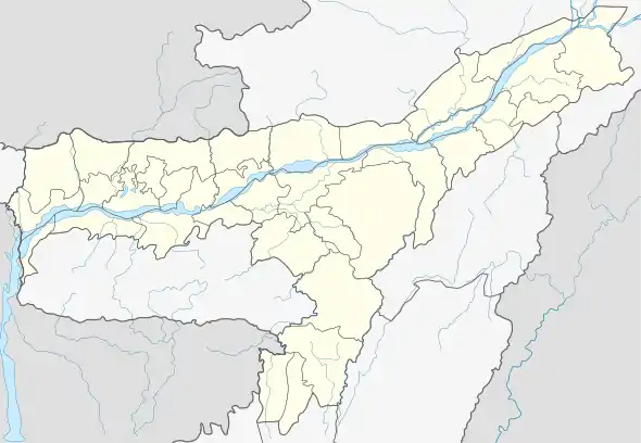
 Sootea Location in Assam, India | |
| Coordinates: 26.7335°N 93.0465°E | |
| Country | |
| State | Assam |
| District | Biswanath |
| Government | |
| • Type | Village/Town |
| Languages | |
| • Official | Assamese |
| Time zone | UTC+5:30 (IST) |
Geography
There are 103 revenue villages, 128400 bigha 03 katha 10 lecha of land in Sootea sub-circle and its area is 158.90 square kilometres. There is Arunachal Pradesh to the north of Sootea, south bank of the river Brahmaputra River to the south, river Ghiladhari to the east and river Dekorai to the west.
Weather
It is cold in summer. Sootea summer highest day temperature is in between 21 °C to 35 °C . Average temperatures of January is 17 °C , February is 21 °C , March is 24 °C , April is 25 °C , May is 26 °C .
Sights of Sootea
Nagsankar mandir
The Nagsankar Mandir is one of the oldest and most respected shrines near Sootea, between the border of Sonitpur and biswanath district. It is located at a distance of 45. 7 kms Tezpur city center.
Chatia College
Chatia College[2] is a premier institute of higher learning in Sootea, Dist.- Biswanath, Assam. It was established in the year 1971 with the unwavering endeavour of some leading citizens and the public of greater Sootea area. The College is situated at the heart of Sootea around 1 km away from the NH – 15 in its own plot of land which covers an area of about 54 bighas. The College has Arunachal Pradesh to the North, the mighty Brahmaputra river to the South, the Ghiladhari river to the East, and the Dekorai river to the West. About 72 villages comprise the areas immediately surrounding the College. The serene and eco-friendly campus adds to the beauty of this institution.