South Sitra Island
South Sitra (Arabic: سترة or سِتْرَة) is an island in Bahrain. It lies 12.5 km (7.8 mi) south of the capital, Manama, on Bahrain Island.
| Native name: سترة | |
|---|---|
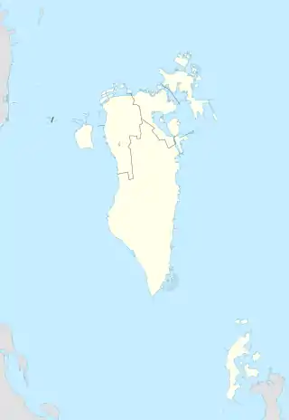 South Sitra Location of South Sitra Island in Bahrain | |
| Geography | |
| Location | Persian Gulf |
| Coordinates | 26.11°N 50.635°E |
| Archipelago | Bahrain |
| Adjacent bodies of water | Persian Gulf |
| Total islands | 1 |
| Major islands |
|
| Area | 0.1 km2 (0.039 sq mi) |
| Length | 0.2 km (0.12 mi) |
| Width | 0.35 km (0.217 mi) |
| Coastline | 1.2 km (0.75 mi) |
| Highest elevation | 0 m (0 ft) |
| Administration | |
| Governorate | Southern Governorate |
| Largest settlement | South Sitra Palace (pop. 0) |
| Demographics | |
| Demonym | Bahraini |
| Population | 0 (2016) |
| Pop. density | 0/km2 (0/sq mi) |
| Ethnic groups | Bahraini, non-Bahraini |
| Additional information | |
| Time zone |
|
| ISO code | BH-14 |
| Official website | www |
History
It is the location of Sitra Palace.
Geography
The Island is located just south of Sitra in the Persian Gulf. The island's western coast forms the boundary of Tubli Bay. to the South of it is the new reclamation project of Sitra Technology Park Islands.
Transportation
The South Sitra Causeway connects it to Sitra Island.
Administration
The island belongs to Southern Governorate.
Image gallery
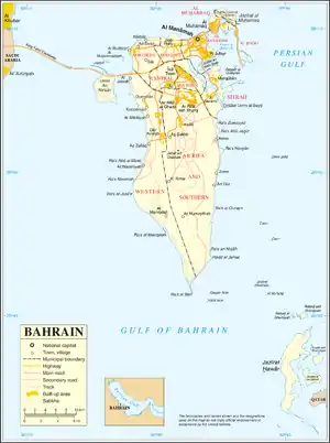 Map 1
Map 1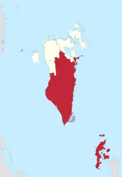 District Map
References
External links
 Media related to Sitra at Wikimedia Commons
This article is issued from Wikipedia. The text is licensed under Creative Commons - Attribution - Sharealike. Additional terms may apply for the media files.