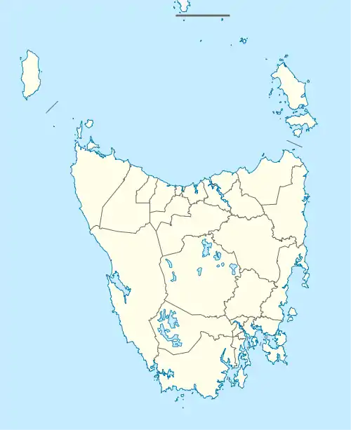
St Leonards, Tasmania
St Leonards is a semi-rural residential locality in the local government area of Launceston in the Launceston region of Tasmania. It is an eastern suburb of Launceston, with a mix of residential, semi-rural and rural homes. It has schools and shops, and it is a ten-minute drive to the city. It is an alternative to city living. The 2016 census determined a population of 2009 for the state suburb of St Leonards.[1]
| St Leonards Launceston, Tasmania | |||||||||||||||
|---|---|---|---|---|---|---|---|---|---|---|---|---|---|---|---|
 St Leonards | |||||||||||||||
| Coordinates | 41°27′30″S 147°12′3″E | ||||||||||||||
| Population | 2,009 (2016 census)[1] | ||||||||||||||
| Postcode(s) | 7250 | ||||||||||||||
| Location | 5.7 km (4 mi) from Launceston | ||||||||||||||
| LGA(s) | Launceston | ||||||||||||||
| Region | Launceston | ||||||||||||||
| State electorate(s) | Bass | ||||||||||||||
| Federal Division(s) | Bass | ||||||||||||||
| |||||||||||||||
History
St Leonards was gazetted as a locality in 1963.[2]
Geography
The North Esk River forms the southern boundary and almost all of the western boundary.[3]
Road infrastructure
The Tasman Highway (A3) passes through a small section of the north-west of the locality, and subsequently also passes through the north-east corner. The C401 route (St Leonards Road) starts at an intersection with A3 in the north-west corner and runs south-east through the locality and town before exiting in the south-west. The C403 route is in two sections within the locality, both starting / ending in the town. The western section (Johnston Road) starts at an intersection with C401 and runs south-west before exiting. The eastern section (Abels Hill Road) starts at an intersection with C401 and runs north-east before ending at an intersection with the A3.[2]
References
- Australian Bureau of Statistics (27 June 2017). "St Leonards (State Suburb)". 2016 Census QuickStats. Retrieved 6 December 2017.

- "Placenames Tasmania – St Leonards". Placenames Tasmania. Retrieved 28 May 2020.
Select “Search”, enter 19042Y, click “Search”, select row, map is displayed, click “Details”
- Google (28 May 2020). "St Leonards, Tasmania" (Map). Google Maps. Google. Retrieved 28 May 2020.