Staples Municipal Airport
Staples Municipal Airport[1] (ICAO: KSAZ, FAA LID: SAZ) is a city-owned public-use airport located two nautical miles (3.7 km) northwest of the central business district of the City of Staples, in Wadena County, Minnesota, United States.[1]
Staples Municipal Airport | |||||||||||
|---|---|---|---|---|---|---|---|---|---|---|---|
| Summary | |||||||||||
| Owner | City of Staples | ||||||||||
| Serves | Staples, Minnesota | ||||||||||
| Opened | October 1, 1946 | ||||||||||
| Elevation AMSL | 1,288 ft / 393 m | ||||||||||
| Coordinates | 46°22′51.166″N 094°48′23.766″W | ||||||||||
| Website | Staples Airport Board | ||||||||||
| Map | |||||||||||
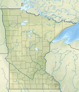
 SAZ Location of airport in Minnesota/United States  SAZ SAZ (the United States) | |||||||||||
| Runways | |||||||||||
| |||||||||||
| Statistics (2019) | |||||||||||
| |||||||||||
Facilities and aircraft
Staples Municipal Airport covers an area of 172 acres (70 ha) at an elevation of 1,288 feet (393 m) above mean sea level. It has one runway designated 14/32 with a asphalt surface measuring 3,305 by 75 feet (1007 x 23 m).[1]
In 2010 the Arrival-Departure Building was remodeled.[2]
References
- FAA Airport Form 5010 for SAZ PDF, effective 2019-07-31.
- Foster, Tom (October 2013). "Airport of the Month". Minnesota Flyer.
- Uren, Adam (April 15, 2020). "97 Minnesota airports receive federal bailout cash, here's how much they got". Retrieved June 14, 2020.
- "U.S. Transportation Secretary Elaine L. Chao Announces $10 Billion in Relief for America's Airports". April 14, 2020. Retrieved June 14, 2020.
External links
- Resources for this airport:
- FAA airport information for SAZ
- AirNav airport information for SAZ
- FlightAware airport information and live flight tracker
- SkyVector aeronautical chart for SAZ
This article is issued from Wikipedia. The text is licensed under Creative Commons - Attribution - Sharealike. Additional terms may apply for the media files.