Steuben, Maine
Steuben is a town in Washington County, Maine, United States. Upon incorporation in 1795 it was named after Baron Friedrich Wilhelm von Steuben, the Inspector General of the U.S. Army during the Revolutionary War.[4] The population was 1,131 at the 2010 census.[5]
Steuben, Maine | |
|---|---|
 The Union Church in the town center | |
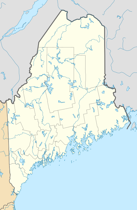 Steuben, Maine Location within the state of Maine | |
| Coordinates: 44°30′24″N 67°56′19″W | |
| Country | United States |
| State | Maine |
| County | Washington |
| Area | |
| • Total | 74.8 sq mi (193.7 km2) |
| • Land | 43.00 sq mi (111.3 km2) |
| • Water | 31.8 sq mi (82.4 km2) |
| Elevation | 69 ft (21 m) |
| Population | |
| • Total | 1,131 |
| • Estimate (2012[3]) | 1,118 |
| • Density | 26.3/sq mi (10.2/km2) |
| Time zone | UTC-5 (Eastern (EST)) |
| • Summer (DST) | UTC-4 (EDT) |
| ZIP code | 04680 |
| Area code(s) | 207 |
| FIPS code | 23-74125 |
| GNIS feature ID | 0582747 |
Demographics
| Historical population | |||
|---|---|---|---|
| Census | Pop. | %± | |
| 1800 | 347 | — | |
| 1810 | 552 | 59.1% | |
| 1820 | 780 | 41.3% | |
| 1830 | 695 | −10.9% | |
| 1840 | 884 | 27.2% | |
| 1850 | 1,122 | 26.9% | |
| 1860 | 1,191 | 6.1% | |
| 1870 | 1,062 | −10.8% | |
| 1880 | 1,165 | 9.7% | |
| 1890 | 982 | −15.7% | |
| 1900 | 901 | −8.2% | |
| 1910 | 890 | −1.2% | |
| 1920 | 714 | −19.8% | |
| 1930 | 684 | −4.2% | |
| 1940 | 690 | 0.9% | |
| 1950 | 784 | 13.6% | |
| 1960 | 673 | −14.2% | |
| 1970 | 697 | 3.6% | |
| 1980 | 970 | 39.2% | |
| 1990 | 1,084 | 11.8% | |
| 2000 | 1,126 | 3.9% | |
| 2010 | 1,131 | 0.4% | |
| 2014 (est.) | 1,098 | [6] | −2.9% |
| U.S. Decennial Census[7] | |||
2010 census
As of the census[2] of 2010, there were 1,131 people, 474 households, and 306 families living in the town. The population density was 26.3 inhabitants per square mile (10.2/km2). There were 873 housing units at an average density of 20.3 per square mile (7.8/km2). The racial makeup of the town was 95.1% White, 0.5% African American, 1.6% Native American, 0.1% Asian, 1.2% from other races, and 1.4% from two or more races. Hispanic or Latino of any race were 2.3% of the population.
There were 474 households, of which 28.9% had children under the age of 18 living with them, 48.9% were married couples living together, 8.0% had a female householder with no husband present, 7.6% had a male householder with no wife present, and 35.4% were non-families. 28.1% of all households were made up of individuals, and 12.2% had someone living alone who was 65 years of age or older. The average household size was 2.39 and the average family size was 2.84.
The median age in the town was 42.4 years. 21.8% of residents were under the age of 18; 8.9% were between the ages of 18 and 24; 23.3% were from 25 to 44; 30.7% were from 45 to 64; and 15.2% were 65 years of age or older. The gender makeup of the town was 50.8% male and 49.2% female.
2000 census
As of the census[8] of 2000, there were 1,126 people, 459 households, and 314 families living in the town. The population density was 26.2 people per square mile (10.1/km2). There were 775 housing units at an average density of 18.0 per square mile (7.0/km2). The racial makeup of the town was 96.98% White, 0.27% African American, 0.98% Native American, 0.44% Asian, 0.36% from other races, and 0.98% from two or more races. Hispanic or Latino of any race were 0.53% of the population.
There were 459 households, out of which 29.6% had children under the age of 18 living with them, 58.2% were married couples living together, 7.8% had a female householder with no husband present, and 31.4% were non-families. 22.7% of all households were made up of individuals, and 12.0% had someone living alone who was 65 years of age or older. The average household size was 2.45 and the average family size was 2.88.
In the town, the population was spread out, with 24.3% under the age of 18, 7.3% from 18 to 24, 29.8% from 25 to 44, 25.0% from 45 to 64, and 13.7% who were 65 years of age or older. The median age was 38 years. For every 100 females, there were 97.2 males. For every 100 females age 18 and over, there were 95.9 males.
The median income for a household in the town was $25,208, and the median income for a family was $28,400. Males had a median income of $21,806 versus $16,583 for females. The per capita income for the town was $12,162. About 13.9% of families and 19.5% of the population were below the poverty line, including 19.8% of those under age 18 and 17.5% of those age 65 or over.
Geography
According to the United States Census Bureau, the town has a total area of 62.29 square miles (161.29 km2).
Notable people
- Martha Gallison Moore Avery, Unitarian socialist turned Catholic activist
References
- "US Gazetteer files 2010". United States Census Bureau. Retrieved 2012-12-16.
- "U.S. Census website". United States Census Bureau. Retrieved 2012-12-16.
- "Population Estimates". United States Census Bureau. Archived from the original on 2013-06-11. Retrieved 2013-07-06.
- Maine League of Historical Societies and Museums (1970). Doris A. Isaacson (ed.). Maine: A Guide 'Down East'. Rockland, Me: Courier-Gazette, Inc. p. 277.
- "Profile of General Population and Housing Characteristics: 2010 Demographic Profile Data (DP-1): Steuben town, Washington County, Maine". United States Census Bureau. Retrieved July 20, 2012.
- "Annual Estimates of the Resident Population for Incorporated Places: April 1, 2010 to July 1, 2014". Archived from the original on May 23, 2015. Retrieved June 4, 2015.
- "Census of Population and Housing". Census.gov. Retrieved June 4, 2015.
- "U.S. Census website". United States Census Bureau. Retrieved 2008-01-31.
External links
- Varney, George J. (1886). Gazetteer of the state of Maine. Steuben. Boston: Russell.
Municipalities and communities of Washington County, Maine, United States | ||
|---|---|---|
| Cities |  Washington County map | |
| Towns |
| |
| Plantations | ||
| Unorganized territories | ||
| CDPs | ||
| Other villages | ||
| Indian reservations | ||
| ||
| Authority control |
|---|