Styal
Styal (/staɪl/, like style) is a village and civil parish on the River Bollin near Wilmslow, Cheshire, England.
| Styal | |
|---|---|
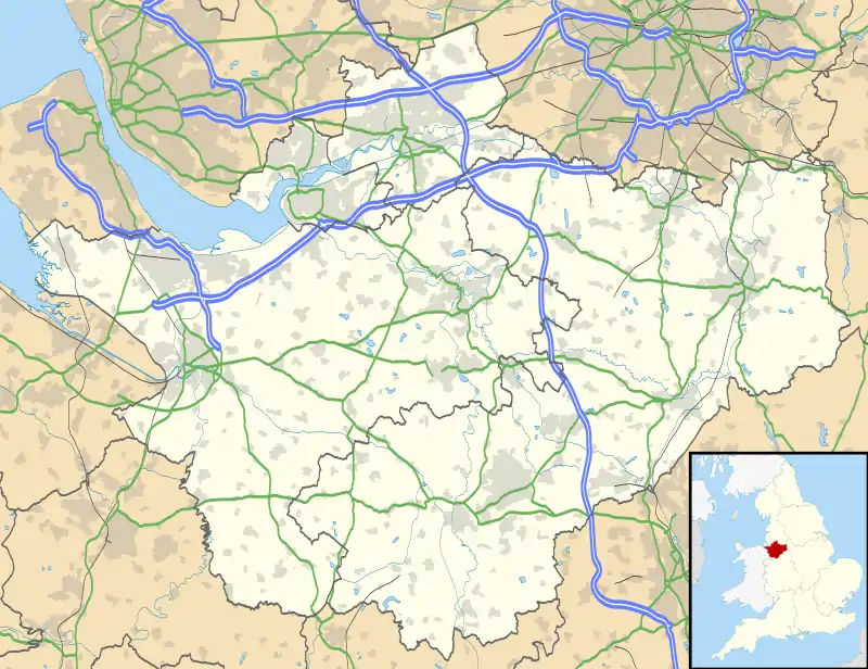
 Styal Location within Cheshire | |
| Area | 7.08 km2 (2.73 sq mi) |
| Population | 1,051 (2011) |
| • Density | 148/km2 (380/sq mi) |
| OS grid reference | SJ835835 |
| Civil parish |
|
| Unitary authority | |
| Ceremonial county | |
| Region | |
| Country | England |
| Sovereign state | United Kingdom |
| Post town | WILMSLOW |
| Postcode district | SK9 |
| Dialling code | 01625 |
| Police | Cheshire |
| Fire | Cheshire |
| Ambulance | North West |
| UK Parliament | |

Styal is a commuter village, with access to Manchester. The village is dominated by Quarry Bank Mill and much of its housing is the mill's estate. The mill and the surrounding country park are owned by The National Trust. It was once an area known as Pownall Fee. Samuel Greg had the village built for the workers of Quarry Bank Mill.
Styal railway station is on the line linking Crewe, Wilmslow and Manchester Piccadilly. The line opened on 1 May 1909. The station is currently served by one train an hour in each direction to Liverpool Lime Street and Wilmslow or Crewe; this had previously been limited to eight trains a day. A campaign was launched in 2008 to lobby for more services.[2] Sunday services every two hours were launched in May 2009 to coincide with the line's centenary. The state primary school is on the Styal National Trust estate.
HMP Styal is a women's prison which opened in 1962 and occupies some former buildings of the Styal Cottage Homes. These homes were open from 1898 to around 1956 and housed destitute children from the Manchester area.
The population in the 2001 Census was 5,014, including the nearby smaller village of Morley and part of the fringe of Wilmslow. The population for the civil parish according to the 2011 Census was 1,051.[3]
Terry Waite, the humanitarian, author and hostage negotiator, is from Styal.
Demography
Population
According to 2001 Census data, the Morley and Styal Ward has a population of 5014, of which 2722 (54.3%) are females and 2292 (45.7%) are males. 949 people (18.93%) are aged 16 and under, and 969 people (19.33%) are aged 65 and over.[4][5]
| Morley & Styal Compared | |||
|---|---|---|---|
| 2001 UK Census | Morley & Styal | Cheshire | England |
| Total population | 5,014 | 673,781 | 49,138,831 |
| White | 96.2% | 98.4% | 90.9% |
| Asian | 1.3% | 0.5% | 4.6% |
| Black | 0.5% | 0.2% | 2.3% |
Ethnicity
Ethnic white groups (British, Irish, other) account for 96.19% (4823 people) of the population, with 3.81% (190 people) being in ethnic groups other than white.
Of the 3.81% (190 people) in non-white ethnic groups:
- 53 (27.89%) belonged to mixed ethnic groups
- 67 (35.26%) were Asian or Asian British
- 25 (13.16%) were Black or Black British
- 45 (23.64%) were Chinese or Other Ethnic Groups [6]
Religion
A breakdown of religious groups and denominations:
- Christian – 76.31% (3826 people)
- Buddhist – 0.24% (12 people)
- Hindu – 0.50% (25 people)
- Jewish – 0.76% (38 people)
- Muslim – 1.18% (59 people)
- Sikh – 0.18% (9 people)
- Sivesh - 0.02% (1 person)
- Other religions – 0.26% (13 people)
- No religion – 13.82% (693 people)
- Religion not stated – 6.76% (339 people)[7][8]
References
- http://styalparishcouncil.org.uk/
- http://styal-station.org.uk
- "Civil Parish population 2011". Neighbourhood Statistics. Office for National Statistics. Retrieved 15 March 2016.
- http://www.neighbourhood.statistics.gov.uk/dissemination/LeadKeyFigures.do?a=7&b=6158924&c=styal&d=14&e=16&g=429155&i=1001x1003x1004&m=0&r=1&s=1310744740629&enc=1
- http://www.neighbourhood.statistics.gov.uk/dissemination/LeadTableView.do?a=7&b=6158924&c=styal&d=14&e=16&g=429155&i=1001x1003x1004&m=0&r=1&s=1310742628592&enc=1&dsFamilyId=91
- http://www.neighbourhood.statistics.gov.uk/dissemination/LeadTableView.do?a=7&b=6158924&c=styal&d=14&e=16&g=429155&i=1001x1003x1004&m=0&r=1&s=1310742628592&enc=1&dsFamilyId=87
- http://www.neighbourhood.statistics.gov.uk/dissemination/LeadKeyFigures.do?a=7&b=6158924&c=styal&d=14&e=16&g=429155&i=1001x1003x1004&m=0&r=1&s=1310742628592&enc=1
- http://www.neighbourhood.statistics.gov.uk/dissemination/LeadTableView.do?a=7&b=6158924&c=styal&d=14&e=16&g=429155&i=1001x1003x1004&m=0&r=1&s=1310742628748&enc=1&dsFamilyId=95
External links
| Wikimedia Commons has media related to Styal. |