Holmes Chapel
Holmes Chapel is a large village and civil parish in the unitary authority area of Cheshire East and the ceremonial county of Cheshire, England. Until 1974 the parish was known as Church Hulme.[2] Holmes Chapel is about 8 miles (13 km) north of Crewe and 21 miles (34 km) south of Manchester.
| Holmes Chapel | |
|---|---|
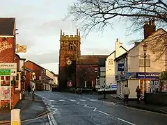
 A view of Holmes Chapel | |
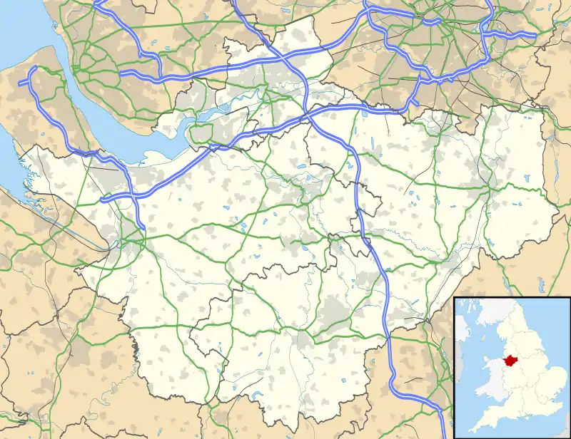
 Holmes Chapel Location within Cheshire | |
| Population | 5,605 |
| OS grid reference | SJ765675 |
| Civil parish |
|
| Unitary authority | |
| Ceremonial county | |
| Region | |
| Country | England |
| Sovereign state | United Kingdom |
| Post town | CREWE |
| Postcode district | CW4 |
| Dialling code | 01477 |
| Police | Cheshire |
| Fire | Cheshire |
| Ambulance | North West |
| UK Parliament | |
The population of the village was recorded as 5,605 as of the 2011 census. It has however grown due to a number of large housing developments. According to the Index of Deprivation, the village ranks as the 18th least deprived ward in the United Kingdom (out of 8,414). Holmes Chapel railway station has services to Manchester and Crewe, making the village convenient for commuters. Swettenham Meadows Nature Reserve lies 2.5 miles (4.0 km) east of the village and Goostrey lies to the north.
The village has a number of public houses. There is a major supermarket (Aldi), several smaller supermarkets, a precinct, and numerous outlets including a fish and chip shop, off licence, pizzeria, estate agent, a chemist and a library, and a bakery. The town has one secondary school, Holmes Chapel Comprehensive School, and two primary schools: Holmes Chapel Primary School and Hermitage Primary School. It has a GP Practice on London Road.
Cotton Hall, where John Cotton was resident in 1400,[3] remained the family seat until the 18th century when Daniel Cotton married into the Booths of Twemlow; a cadet branch of the family were created baronets and then Viscounts Combermere. Cotton Hall dates from at least the 15th century with some additions in the 17th, 19th and 20th centuries. A farm and estate, just off Middlewich Road, Cotton Hall is today listed Grade II* under the Planning (Listed Buildings and Conservation Areas) Act 1990, as amended, for its special architectural or historic interest.[4]
Geography
Holmes Chapel, set within the Cheshire Plain, it lies on the mid-reaches of the River Dane as it meanders its way around the north end of the village. The village is within the Unitary Authority district of Cheshire East, and used to be administered by Congleton borough.
Holmes Chapel has been twinned with Bessancourt, France, since 1980.[5]
Religion
St Luke's Church was built in about 1430. Originally half-timbered, the brick walls encasing the nave and chancel are later additions. It was designated a Grade I listed building on 14 February 1967.[6]
Notable people
- Harry Styles, (born 1994) singer, songwriter [7] and actor.
- Major Philip Glazebrook, DSO (1880–1918) businessman and Conservative politician,[8] MP for Manchester South 1912 / 1918.
- Sir Henry Cotton, MBE (1907–1987) professional golfer,[9] won the Open Championship in 1934, 1937 and 1948
- Shirley Strong (born 1958) former athlete,[10] won silver medal at the 1984 Summer Olympics in 100 metres hurdles
- Andy Porter (born 1968) former professional footballer [11] turned coach and manager, played 357 times for Port Vale F.C.
- Seth Johnson, (born 1979) former professional [12] footballer, 275 pro appearances
- Dean Ashton, (born 1983) former professional footballer,[13] made over 240 appearances
- Ryan Brooke (born 1990) football forward,[14] plays for Curzon Ashton F.C.
- Tom Lowery (born 1997) footballer,[15] plays for Crewe Alexandra F.C.
See also
 Cheshire portal
- Listed buildings in Holmes Chapel
References
- https://www.holmeschapelparishcouncil.gov.uk/
- Cheshire Towns & Parishes: Holmes Chapel, GENUKI, retrieved 4 November 2008
- The Visitation of Worcestershire 1569 edited by W.P.W.Phillimore, M.A., B.C.L., London, 1888, p.127.
- Historic England, "Details from listed building database (1231500)", National Heritage List for England, retrieved 9 April 2020
- "British towns twinned with French towns", Complete France, Archant, archived from the original on 5 July 2013, retrieved 12 July 2013
- Historic England, "Church of St Luke (1231322)", National Heritage List for England, retrieved 19 September 2013
- IMDb Database retrieved 3 March 2018
- HANSARD 1803–2005 → People (G), Mr Philip Glazebrook retrieved 3 March 2018
- Sir Henry Cotton Championship Course at Penina.com retrieved 3 March 2018
- Shirley Strong, profile at IAAF retrieved 3 March 2018
- SoccerBase Database retrieved 3 March 2018
- SoccerBase Database retrieved 3 March 2018
- SoccerBase Database retrieved 3 March 2018
- SoccerBase Database retrieved 3 March 2018
- SoccerBase Database retrieved 3 March 2018
External links
| Wikimedia Commons has media related to Holmes Chapel. |
| Wikivoyage has a travel guide for Holmes Chapel. |