The Wall (mountain)
The Wall (11,113 feet (3,387 m)) is located in the Teton Range in the U.S. state of Wyoming, running for more than 4 miles (6.4 km) along the western border of Grand Teton National Park. The peak is on the border of Grand Teton National Park and the Jedediah Smith Wilderness of Caribou-Targhee National Forest.[2] This high point, near the northern terminus of the cliff, is 1 mile (1.6 km) WSW of South Teton and overlooks Snowdrift Lake.
| The Wall | |
|---|---|
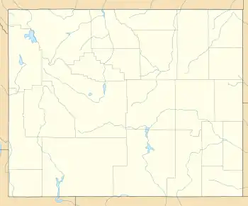 The Wall Location in Wyoming  The Wall Location in the United State | |
| Highest point | |
| Elevation | 11,113 ft (3,387 m) [1] |
| Prominence | 388 ft (118 m) [1] |
| Coordinates | 43°52′59″N 110°50′17″W [1] |
| Geography | |
| Location | Grand Teton National Park, Caribou-Targhee National Forest, Teton County, Wyoming, U.S. |
| Parent range | Teton Range |
| Topo map | USGS Grand Teton |
| Climbing | |
| Easiest route | Scramble |
References
- "The Wall, Wyoming". Peakbagger.com. Retrieved 2011-06-05.
- Grand Teton, WY (Map). TopoQwest (United States Geological Survey Maps). Retrieved 2011-06-04.
This article is issued from Wikipedia. The text is licensed under Creative Commons - Attribution - Sharealike. Additional terms may apply for the media files.
