Thomaston, Texas
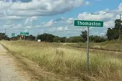
Thomaston is an unincorporated community in southeastern DeWitt County, Texas, United States. It lies along U.S. Route 87 southeast of the city of Cuero, the county seat of DeWitt County.[2] Its elevation is 161 feet (49 m).[1] Although Thomaston is unincorporated, it has a post office, with the ZIP code of 77989.[3]
Thomaston, Texas | |
|---|---|
 | |
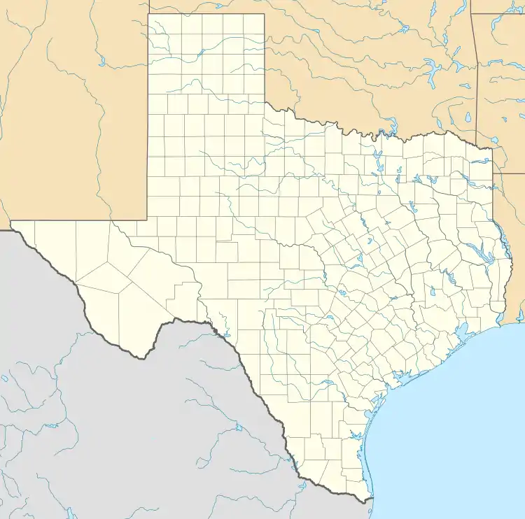 Thomaston Location within the state of Texas  Thomaston Thomaston (the United States) | |
| Coordinates: 28°59′51″N 97°9′18″W | |
| Country | United States |
| State | Texas |
| County | DeWitt |
| Elevation | 161 ft (49 m) |
| Time zone | UTC-6 (Central (CST)) |
| • Summer (DST) | UTC-5 (CDT) |
| ZIP codes | 77989 |
| GNIS feature ID | 1377648[1] |
Founded along the Gulf, Western Texas and Pacific Railroad in 1872, the community was named for Nathan Thomas, who had previously owned part of the land on which the community was built.[4] The community's post office was opened in 1873; schools were started early in the community's history, although local students now attend the Cuero schools. Thomaston has declined in recent decades as non-railroad transportation has become significant.[5]
References
- U.S. Geological Survey Geographic Names Information System: Thomaston, Texas
- Rand McNally. The Road Atlas '08. Chicago: Rand McNally, 2008, p. 101.
- Zip Code Lookup
- Bowlin, Sean (Jan 2, 2002). "Thomaston: A peaceful, quiet town". The Victoria Advocate. pp. 1D. Retrieved 18 May 2015.
- Thomaston, Texas, Handbook of Texas Online, 2008-01-18. Accessed 2008-10-12.
| Wikimedia Commons has media related to Thomaston, Texas. |
External links
Municipalities and communities of DeWitt County, Texas, United States | ||
|---|---|---|
| Cities | 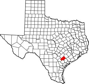 DeWitt County map | |
| Unincorporated communities | ||
| Ghost towns | ||
| Footnotes | ‡This populated place also has portions in an adjacent county or counties | |
| ||