Thwing, East Riding of Yorkshire
Thwing /ˈðwɪŋ/ is a village in the Yorkshire Wolds, in the East Riding of Yorkshire, England. It forms part of the civil parish of Thwing and Octon.
| Thwing | |
|---|---|
Mar2006.jpg.webp) View of Thwing from the south-west. | |
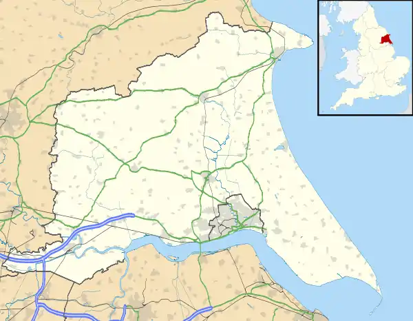 Thwing Location within the East Riding of Yorkshire | |
| OS grid reference | TA049701 |
| Civil parish | |
| Unitary authority | |
| Ceremonial county | |
| Region | |
| Country | England |
| Sovereign state | United Kingdom |
| Post town | DRIFFIELD |
| Postcode district | YO25 |
| Dialling code | 01262 |
| Police | Humberside |
| Fire | Humberside |
| Ambulance | Yorkshire |
| UK Parliament | |
Description
.jpg.webp)
Thwing is located in the Yorkshire Wolds in the civil parish of Thwing and Octon about 8 miles (13 km) west of the North Sea coast at Bridlington.[1]
The village has a 12th-century Norman Church (All Saints),[2] and a pub known as The Falling Stone,[3] previously The Rampant Horse, before 1976 the Raincliffe Arms.[4][5]
The Falling Stone pub name is a reference to the Wold Cottage Meteorite, which fell nearby on 13 December 1795. A monument to its fall can be visited.
The church, as well as the post office (1830s) and 'Pear Tree farmhouse' (late 18th century) are listed buildings.[2][6][7]
Thwing is the birth place of John Twenge
History
Thwing is thought to mean 'narrow strip of land', deriving from thvengr (Old Scandinavian) or thweng (Old English).[8] The village is recorded in Domesday Book (1086) as Tuennc, in the hundred of Burton.[8][9]
The church of All Saints dates from the 12th century.[2] A market and fair began in Thwing in 1257.[10]
A Wesleyan chapel was established in Thwing in the early 1800s. It was built around 1810, and rebuilt and enlarged around 1839.[11][12]
From the 1850s to the start of the 21st century the extent of building development in the village was practically unchanged.[1][13]
See also
- John Twenge (Saint John of Bridlington) was born in Thwing in 1320 or 1324.[14]
- Marmaduke Thweng, 1st Baron Thweng
- Thomas Lamplugh, Archbishop of York was born in Thwing in 1615
References
- Ordnance Survey. 1:25000. 2009
- Historic England. "Church of All Saints (1083406)". National Heritage List for England. Retrieved 2 December 2012.
- "The Falling Stone – Thwing". www.themobilefoodguide.com. Retrieved 28 April 2013.
- "The Villages of the Yorkshire Wolds – Thwing". Driffield Online. 1999. Retrieved 20 August 2006.
- Coates, J (2006). "Thwing, East Yorkshire". Two Mile Ash Site. Archived from the original on 23 July 2008. Retrieved 28 April 2013.
- Historic England. "Pear Tree Farmhouse (1162663)". National Heritage List for England. Retrieved 2 December 2012.
- Historic England. "The Post Office (1083363)". National Heritage List for England. Retrieved 2 December 2012.
- Mills, A.D. (1998). Dictionary of English Place-Names (2 ed.). Oxford University Press. Thwing, p.347a.
- Thwing in the Domesday Book. Retrieved 14 November 2012.
- Letters, Samantha (2005). "39. Yorkshire". Gazetteer of Markets and Fairs in England and Wales to 1516. British History Online. Thwing.
- Allen 1831, p. 92.
- Wolffe, John (2006). Yorkshire Returns of the 1851 Census of Religious Worship: Introduction, City of York and East Riding. Borthwick Publications. p. 106.
- Ordnance survey. 1:10506 & 1:10000. 1854, 1912, 1956–8, 1972–83
- "26. The Roll of Honour". The East Riding of Yorkshire. Cambridge County Geographies. p. 149.
Sources
- Gazetteer – A–Z of Towns Villages and Hamlets. East Riding of Yorkshire Council. 2006. p. 11.
- Allen, Thomas (1831). "XII. Survey of Dickering Wapentake – Thwing". A new and complete history of the county of York. 4. I.T. Hinton. pp. 91–95.
External links
| Wikimedia Commons has media related to Thwing. |