Tianwendian
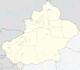
Tianwendian (Chinese: 天文点; lit. 'astronomical point') is the location of a Chinese border outpost in the Chip Chap River valley, north of Depsang Plains in the Aksai Chin region controlled by China (as part of Hotan County, Hotan Prefecture, Xinjiang).[3] The region is disputed by India.
Tianwendian
天文点 | |
|---|---|
border outpost | |
 Tianwendian 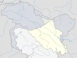 Tianwendian | |
| Coordinates: 35.331°N 78.179°E | |
| Elevation | 5,171.2 m (16,965.9 ft) |
| Tianwendian | |||||||||
|---|---|---|---|---|---|---|---|---|---|
| Traditional Chinese | 天文點 | ||||||||
| Simplified Chinese | 天文点 | ||||||||
| Literal meaning | astronomical point | ||||||||
| |||||||||
The Tianwendian post was established after the 1962 war. China said it was an astronomical observatory. A few years later India realised that it was an not an observatory but a military post. Over the years, China has continued to expand the post.[4]
Tianwendian is in vicinity of an earlier post at Point 5243 (Chinese: 5243哨卡), which is at an elevation of 5243 meters above sea level.[5][6][7][8]
Military outpost
The military outpost was constructed in 1959, and is composed of a border company.[9] Around the time of the 2013 Daulat Beg Oldi incident, PLA constructed a radar station, a 11 m radome at an elevation of 5530m, at this outpost.[10][4]
Forward Post 5390
Between 2006 and 2008, China constructed forward post 5390 (named after the highest point in that area).[4]
India-China Border Meeting point
The highest of the five Border Personnel Meeting points is located near Tianwendian. The Indian camp at Daulat Beg Oldi serves as the counter-party for this meeting point.[11]
References
- Baiping, Zhang (2000). "Kunlun Mountains Region". Mountain Geoecology and Sustainable Development of the Tibetan Plateau. GeoJournal Library. 57. pp. 349–372. doi:10.1007/978-94-010-0965-2_17. ISBN 978-94-010-3800-3. ISSN 0924-5499.
Tianwendian (5171.2 m)
- "海拔5170米 天文点官兵扎根奉献". Xinwen Lianbo. CCTV-13. 22 December 2013. Retrieved 30 December 2019.
海拔5170米 天文点官兵扎根奉献
- 地貌气候. 和田县政府门户网站 (in Chinese). 29 April 2019. Retrieved 23 December 2019.
海拔5 000米以上的天文点、空喀山口一带,
- Bhat, Col Vinayak (25 June 2020). "New radar, water pipelines: Satellite images decode Chinese troop movement in Ladakh's Depsang". India Today. Retrieved 29 September 2020.
- Point 5243, OpenStreetMap, retrieved 17 December 2020.
- Sandhu, P. J. S.; Shankar, Vinay; Dwivedi, G. G. (6 August 2015). 1962: A View from the Other Side of the Hill. Vij Books India Pvt Ltd. pp. 44–46. ISBN 978-93-84464-37-0.
- Nath, Rajendra (10 November 2016). "12". Strategic Ladakh: A Historical Narrative 1951-53 and a Military Perspective. Vij Books India Pvt Ltd. ISBN 978-93-85563-50-8.
- 分享至 (28 May 2018). "那些年,我在中印边界的坚守". Sina. Retrieved 16 December 2020.
总卡5243哨卡...我们天防区的总卡叫5243,海拔高度就是5243米,是天防区最低的哨卡
- 陈杰 (19 December 2013). 王建民 (ed.). "守防在昆仑之巅 记新疆军区某边防团天文点边防连" (in Chinese). Xinhua News. Retrieved 14 December 2019.
天文点边防连组建于1959年。
- Bhat, Vinayak (25 August 2017). "China's string of radars in Ladakh track every move of Indian Army – ThePrint". ThePrint. Retrieved 5 January 2020.
The Depsang area came into the limelight during 2013 Daulat Beg Oldie incident when the PLA pitched tents and constructed watchtowers much higher than required. At that time, China had also constructed a huge radar on a hillock north of their post called Tianwendian.
- "Indian, Chinese armies decide to improve ties at functional level". News18. Retrieved 14 September 2017.