Tisdale, Kansas
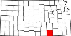
Tisdale is a small unincorporated community in Cowley County, Kansas, United States.[3]
Tisdale, Kansas | |
|---|---|
 | |
 Tisdale, Kansas Location within the state of Kansas | |
| Coordinates: 37°16′6″N 96°52′25″W | |
| Country | United States |
| State | Kansas |
| County | Cowley |
| Area | |
| • Total | 30.1 sq mi (77.9 km2) |
| • Land | 30.1 sq mi (77.8 km2) |
| • Water | 0.0 sq mi (0.1 km2) |
| Elevation | 1,332 ft (406 m) |
| • Density | 11.3/sq mi (4.4/km2) |
| Time zone | UTC-6 (Central (CST)) |
| • Summer (DST) | UTC-5 (CDT) |
| FIPS code | 20-70725[1] |
| GNIS feature ID | 0469566[2] |
History
The post office was established December 1, 1871, and discontinued April 15, 1920.[4]
Geography
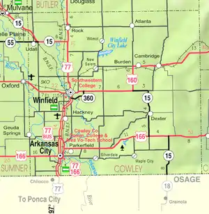
Tisdale is located north of combined US Route 160 and State Highway 15.
Education
The community is served by Winfield USD 465 public school district.
References
- "U.S. Census website". United States Census Bureau. Retrieved 2008-01-31.
- "US Board on Geographic Names". United States Geological Survey. 2007-10-25. Retrieved 2008-01-31.
- U.S. Geological Survey Geographic Names Information System: Tisdale, Kansas
- "Kansas Post Offices, 1828-1961, page 2". Kansas Historical Society. Retrieved 6 June 2014.
Further reading
This article is issued from Wikipedia. The text is licensed under Creative Commons - Attribution - Sharealike. Additional terms may apply for the media files.
