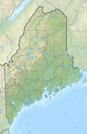
Toddy Pond (Maine)
Toddy Pond is a long, narrow Maine lake with three basins. The southern basin extends from Blue Hill northward to the middle basin forming the boundary between Penobscot and Surry. The northern basin is in Orland, where US route 1 follows the shoreline of the northern tip of the pond. The north end of the pond overflows through Alamoosook Lake into the Orland River.[3] The northern basin cold-water habitat has a self-sustaining population of lake trout, and is stocked with splake, brown trout, and land-locked Atlantic salmon. Smallmouth bass and white perch thrive in the warmer water of the middle and southern basins. The pond is used by a spring spawning fun of alewife. There is a public boat launching site off highway 1 at the north end of the pond.[2]
| Toddy Pond | |
|---|---|
 Toddy Pond  Toddy Pond | |
| Location | Hancock County, Maine |
| Coordinates | 44°32′N 68°37′W[1] |
| Lake type | Reservoir[1] |
| Basin countries | United States |
| Max. length | 8 mi (13 km)[2] |
| Max. width | 1 km (1,100 yd)[3] |
| Surface area | 2,408 acres (974 ha)[4] |
| Max. depth | 122 feet (37 m)[2] |
| Water volume | 49,989 acre⋅ft (61,661,000 m3)[4] |
| Surface elevation | 164 ft (50 m)[1] |
Sources
- U.S. Geological Survey Geographic Names Information System: Toddy Pond
- "Toddy Pond" (PDF). Maine Department of Inland Fisheries and Wildlife. State of Maine. Retrieved 16 May 2016.
- The Maine Atlas and Gazetteer (Thirteenth ed.). Freeport, Maine: DeLorme Mapping Company. 1988. pp. 15&23. ISBN 0-89933-035-5.
- Maine Depts. of Environmental Protection and Inland Fisheries & Wildlife (2005-08-04). "Maine Lakes: Morphometry and Geographic Information". Senator George J. Mitchell Center for Environmental and Watershed Research, The University of Maine. Archived from the original on 2006-09-03. Retrieved 31 July 2008.