Torfajökull
Torfajökull (Icelandic for "Torfi's glacier") is a rhyolitic stratovolcano, caldera (central volcano) and complex of subglacial volcanoes, located north of Mýrdalsjökull and south of Þórisvatn Lake, Iceland. Torfajökull last erupted in 1477 and consists of the largest area of silicic extrusive rocks in Iceland.
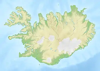
| Torfajökull | |
|---|---|
.jpg.webp) Torfajökull area | |
| Highest point | |
| Elevation | 1,259 m (4,131 ft) |
| Coordinates | 63°55′00″N 19°10′00″W |
| Geography | |
 Torfajökull | |
| Geology | |
| Age of rock | Pleistocene |
| Mountain type | Stratovolcano |
| Last eruption | March 1477 |
The volcano's eruption around 870, a combined bimodal eruption (rhyolite-basalt) with additional engagement of the Bárðarbunga-Veiðivötn volcanic system, has left a thin layer of easily recognized mixed tephra all over Iceland (Landnámslag).[1] This layer makes it possible to determine the exact dates of many archeological finds by so called tephrochronology, like in the Reykjavík 871±2 museum.
Naming
According to legend, the glacier is named for Torfi Jónsson í Klofa, an Icelandic historical figure. When the plague arrived in Iceland in 1493, Torfi fled with his family and his belongings into the highlands and settled in a valley surrounded by the glacier.[2]
According to another legend, the glacier is named for Torfi, a farm worker at a nearby farm. Torfi eloped with the farmer's daughter and fled to the glacier.[3]
References
External links
- Torfajökull in the Catalogue of Icelandic Volcanoes
- "Torfajökull". Global Volcanism Program. Smithsonian Institution.
