Tracy, Iowa
Tracy is an unincorporated community in eastern Marion County, Iowa, United States. It lies along local roads east of the city of Knoxville, the county seat of Marion County.[1] Its elevation is 784 feet (239 m).[2] Although Tracy is unincorporated, it has a post office with the ZIP code of 50256,[3] which opened on 31 January 1876.[4] Tracy was laid out in October 1875 by Capt. Alexander F. Tracy and S. Merrill.[5]
Tracy, Iowa | |
|---|---|
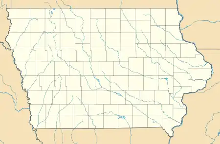 Tracy, Iowa Location within the state of Iowa | |
| Coordinates: 41°16′35″N 92°52′32″W | |
| Country | United States |
| State | Iowa |
| County | Marion |
| Elevation | 784 ft (239 m) |
| Time zone | UTC-6 (Central (CST)) |
| • Summer (DST) | UTC-5 (CDT) |
| ZIP codes | 50256 |
| GNIS feature ID | 463551 |
Education
The Twin Cedars Community School District operates local public schools.[6]
References
- Rand McNally. The Road Atlas '08. Chicago: Rand McNally, 2008, p. 39.
- U.S. Geological Survey Geographic Names Information System: Tracy, Iowa
- Zip Code Lookup
- U.S. Geological Survey Geographic Names Information System: Tracy Post Office
- Dilts, Harold E. (1993) From Ackley to Zwingle: The Origin of Iowa Place Names, p. 181, p. 228. Ames, Iowa: Iowa State University Press, ISBN 0-8138-0837-5
- "TWIN CEDARS" (PDF). Iowa Department of Education. Retrieved 2020-08-04.
Municipalities and communities of Marion County, Iowa, United States | ||
|---|---|---|
| Cities | Map of Iowa highlighting Marion County | |
| Unincorporated communities | ||
| ||
This article is issued from Wikipedia. The text is licensed under Creative Commons - Attribution - Sharealike. Additional terms may apply for the media files.