Tymawa, Pomeranian Voivodeship
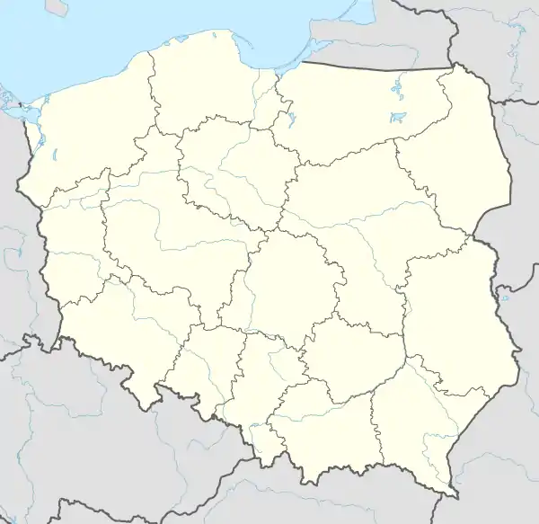
Tymawa [tɨˈmava] (German: Thymau) is a village in the administrative district of Gmina Gniew, within Tczew County, Pomeranian Voivodeship, in northern Poland.[1] It lies approximately 5 kilometres (3 mi) south of Gniew, 35 km (22 mi) south of Tczew, and 65 km (40 mi) south of the regional capital Gdańsk. It is located within the ethnocultural region of Kociewie in the historic region of Pomerania.
Tymawa | |
|---|---|
Village | |
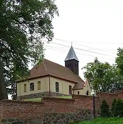 Church of Saint Michael from the 17th century | |
 Tymawa 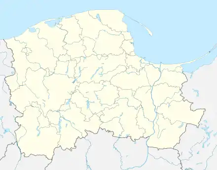 Tymawa | |
| Coordinates: 53°47′54″N 18°48′45″E | |
| Country | |
| Voivodeship | Pomeranian |
| County | Tczew |
| Gmina | Gniew |
| Time zone | UTC+1 (CET) |
| • Summer (DST) | UTC+2 (CEST) |
History
The village was given to the Order of Calatrava for protection against the Prussians in 1227. But they did not hold it for long and abandoned the endeavour by 1245.
Tymawa was a royal village of the Polish Crown, administratively located in the Tczew County in the Pomeranian Voivodeship.[2]
During the German occupation of Poland (World War II), in 1939, the local Polish parish priest was murdered by the Germans during large massacres of Poles in the Szpęgawski Forest,[3] and in 1941, several Polish farmers were expelled, while their farms were then handed over to German colonists as part of the Lebensraum policy.[4]
References
- "Central Statistical Office (GUS) - TERYT (National Register of Territorial Land Apportionment Journal)" (in Polish). 2008-06-01.
- Marian Biskup, Andrzej Tomczak, Mapy województwa pomorskiego w drugiej połowie XVI w., Toruń, 1955, p. 113 (in Polish)
- Maria Wardzyńska, Był rok 1939. Operacja niemieckiej policji bezpieczeństwa w Polsce. Intelligenzaktion, IPN, Warszawa, 2009, p. 150 (in Polish)
- Maria Wardzyńska, Wysiedlenia ludności polskiej z okupowanych ziem polskich włączonych do III Rzeszy w latach 1939-1945, IPN, Warszawa, 2017, p. 107 (in Polish)
| Town and seat |  | |
|---|---|---|
| Villages | ||