Upper Tantallon, Nova Scotia
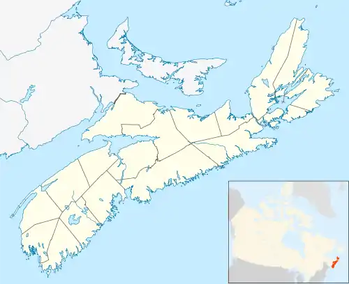
Upper Tantallon (pronounced 'tan-TAL-en') is a suburban community that extends from the Hammonds Plains Road (Route 213) to the crossroads of Trunk 3 and Route 333 within the Halifax Regional Municipality, 28.5 km (17.7 mi) west from Downtown Halifax, Nova Scotia, Canada. The community is likely named for Tantallon Castle in Scotland.[1]
Upper Tantallon | |
|---|---|
Suburban Community | |
 Upper Tantallon | |
| Coordinates: 44°42′04″N 63°51′32″W | |
| Country | Canada |
| Province | Nova Scotia |
| Municipality | Halifax Regional Municipality |
| Community council | Western Region Community Council |
| Planning Area | St. Margarets Bay |
| Postal code | B3Z |
| Area Code | 902 |
Communications
- The first three characters of the postal code are B3Z
- The Telephone exchange is 902 826,820
- Internet: Cable – Eastlink, DSL – Aliant
Statistics
- Total Population 3378
- Total Dwellings 1528
- Total Land Area – 97.5023 km2
References
- "Place-names and Places of Nova Scotia". Nova Scotia Archives. Province of Nova Scotia. Retrieved 18 September 2017.
External links
| Government | |||||||
|---|---|---|---|---|---|---|---|
| Services and agencies | |||||||
| Articles of interest | |||||||
| Education |
| ||||||
| Major neighbourhoods & communities |
| ||||||
| |||||||
This article is issued from Wikipedia. The text is licensed under Creative Commons - Attribution - Sharealike. Additional terms may apply for the media files.