Vineland–Downstown Airport
Vineland–Downstown Airport (FAA LID: 28N) is a privately owned, public-use airport in Gloucester County, New Jersey, United States. It is located four nautical miles (4.6 mi, 7.4 km) northeast of the central business district of Vineland,[1] a city in Cumberland County.
Vineland–Downstown Airport | |||||||||||||||
|---|---|---|---|---|---|---|---|---|---|---|---|---|---|---|---|
| Summary | |||||||||||||||
| Airport type | Public | ||||||||||||||
| Owner | Downstown Arpt. Inc. | ||||||||||||||
| Operator | Curtis Nixholm | ||||||||||||||
| Serves | Vineland, New Jersey | ||||||||||||||
| Location | Gloucester County, New Jersey | ||||||||||||||
| Elevation AMSL | 120 ft / 37 m | ||||||||||||||
| Coordinates | 39°32′22″N 074°58′04″W | ||||||||||||||
| Map | |||||||||||||||
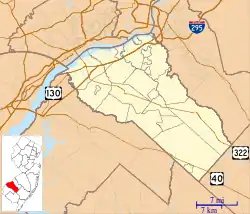 28N Location of airport in Gloucester County/New Jersey/United States 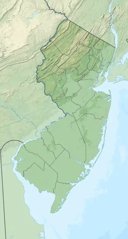 28N 28N (New Jersey)  28N 28N (the United States) | |||||||||||||||
| Runways | |||||||||||||||
| |||||||||||||||
| Statistics (2013) | |||||||||||||||
| |||||||||||||||
Facilities and aircraft
Vineland–Downstown Airport covers an area of 45 acres (18 ha) at an elevation of 120 feet (37 m) above mean sea level. It has two runways with turf surfaces: 2/20 is 2,251 by 100 feet (686 x 30 m) and 12/30 is 1,800 by 100 feet (549 x 30 m).[1]
For the 12-month period ending October 31, 2010, the airport had 1,095 general aviation aircraft operations, an average of 3 per day. At that time there were 21 aircraft based at this airport, all single-engine.[1]
References
- FAA Airport Form 5010 for 28N PDF. Federal Aviation Administration. Effective 30 June 2011.
External links
- Vineland–Downstown Airport (28N) page from New Jersey DOT Airport Directory
- Aerial photo as of 10 March 1991 from USGS The National Map
- Resources for this airport:
- FAA airport information for 28N
- AirNav airport information for 28N
- FlightAware airport information and live flight tracker
- SkyVector aeronautical chart for 28N
This article is issued from Wikipedia. The text is licensed under Creative Commons - Attribution - Sharealike. Additional terms may apply for the media files.