Volta Mantovana
Volta Mantovana (Upper Mantovano: La Ólta) is a comune (municipality) in the Province of Mantua in the Italian region Lombardy, located about 120 kilometres (75 mi) east of Milan and about 20 kilometres (12 mi) northwest of Mantua.
Volta Mantovana | |
|---|---|
| Comune di Volta Mantovana | |
 | |
 Coat of arms | |
Location of Volta Mantovana 
| |
 Volta Mantovana Location of Volta Mantovana in Italy 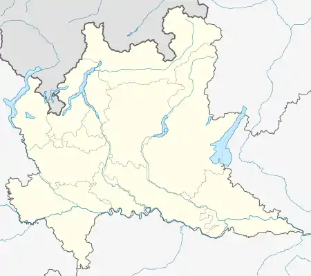 Volta Mantovana Volta Mantovana (Lombardy) | |
| Coordinates: 45°19′N 10°39′E | |
| Country | Italy |
| Region | Lombardy |
| Province | Mantua (MN) |
| Frazioni | Cereta, Castelgrimaldo, Foresto, Ferri-Falzoni |
| Government | |
| • Mayor | Luciano Bertaiola |
| Area | |
| • Total | 50.3 km2 (19.4 sq mi) |
| Elevation | 91 m (299 ft) |
| Population | |
| • Total | 7,413 |
| • Density | 150/km2 (380/sq mi) |
| Demonym(s) | Voltesi |
| Time zone | UTC+1 (CET) |
| • Summer (DST) | UTC+2 (CEST) |
| Postal code | 46049 |
| Dialing code | 0376 |
| Website | Official website |
Volta Mantovana borders the following municipalities: Cavriana, Goito, Marmirolo, Monzambano, Valeggio sul Mincio.
Main sights
- Palazzo Gonzaga-Guerrieri (15th century), built by Louis III of Mantua. In 1515 his heirs donated it to Ludovico Guerrieri, the local commissar of the House of Gonzaga. It returned to a cadet branch of the Gonzaga in 1860; now it houses the town hall.
- Castle (11th century), built by will of Matilde of Canossa. After a predio under the Republic of Venice, it was acquired by the Gonzaga in 1450.
- Parish church
References
- "Superficie di Comuni Province e Regioni italiane al 9 ottobre 2011". Istat. Retrieved 16 March 2019.
- Data from Istat
- "Popolazione Residente al 1° Gennaio 2018". Istat. Retrieved 16 March 2019.
This article is issued from Wikipedia. The text is licensed under Creative Commons - Attribution - Sharealike. Additional terms may apply for the media files.