Wan Singpyin
Mong Khat Township (also(Approved)" Mong KhatWan Singpyin at GEOnet Names Server, United States National Geospatial-Intelligence Agency</ref>) is a town in Kengtong District of Shan State of Myanmar. The town is located alongside the [[Nam Loi Creek], a tributary of the Mekong.[1] The nearest airport is 51 miles away in Kengtong.
Mong Khat
Mong Khat | |
|---|---|
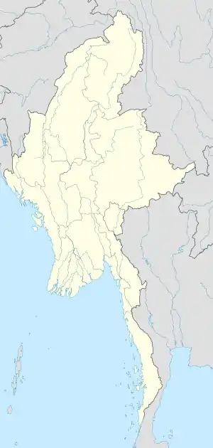 Mong Khat Location in Burma | |
| Coordinates: 21°44′21″N 99°27′36″E | |
| Country | |
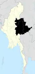
| Division | Shan State |
| Districts | Kengtong |
| Township | Mong Khet |
| Population | |
| • Religions | Buddhism |
| Time zone | UTC+6.30 (MST) |
| WOEID | 1017965 |
Notes
- NF 47-11 "Keng Tong, Burma" U.S. Army Map Service topographic map 1:250,000, Series U-542, first printing December 1959
External links
- "Wan Singpyin Map — Satellite Images of Wan Singpyin" Maplandia World Gazetteer
Wan Singpyin
Capital: Mong Khet | |
|
Mong Khat

This article is issued from Wikipedia. The text is licensed under Creative Commons - Attribution - Sharealike. Additional terms may apply for the media files.