Warrenton–Fauquier Airport
Warrenton–Fauquier Airport (ICAO: KHWY, FAA LID: HWY, formerly W66) is a public airport 14 miles southeast of Warrenton, a town in Fauquier County, Virginia.[1]
Warrenton–Fauquier Airport | |||||||||||
|---|---|---|---|---|---|---|---|---|---|---|---|
 | |||||||||||
| Summary | |||||||||||
| Airport type | Public | ||||||||||
| Owner | Fauquier County | ||||||||||
| Serves | Warrenton, Virginia | ||||||||||
| Elevation AMSL | 336 ft / 102 m | ||||||||||
| Coordinates | 38°35′11″N 077°42′38″W | ||||||||||
| Map | |||||||||||
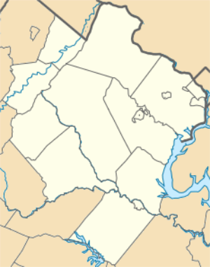 HWY 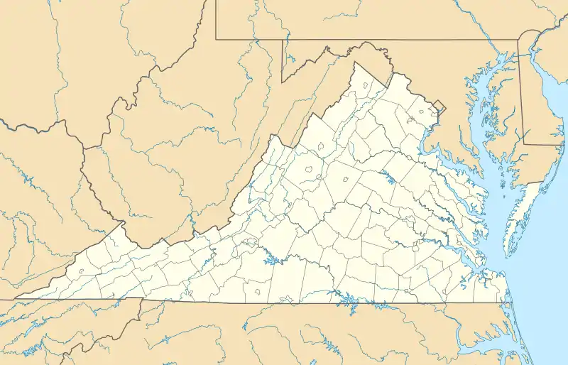 HWY  HWY | |||||||||||
| Runways | |||||||||||
| |||||||||||
| Statistics (2007) | |||||||||||
| |||||||||||
Most U.S. airports use the same three-letter location identifier for the FAA and IATA, but this airport is HWY to the FAA and has no IATA code.[2]

Warrenton Airport, August 2015
Facilities
Warrenton–Fauquier Airport covers 407 acres (165 ha) at an elevation of 336 feet (102 m). Its single runway, 15/33, is 5,000 by 100 feet (1,524 m × 30 m) asphalt.[1]
In the year ending June 29, 2007 the airport had 42,184 aircraft operations, average 115 per day: 98% general aviation, 1% air taxi and <1% military. 119 aircraft were then based at this airport: 84% single-engine (100), 13% multi-engine, 3% ultralight and 1% helicopter.[1]
See also
 Virginia portal
- List of airports in Virginia
References
- FAA Airport Form 5010 for HWY PDF, effective 2008-04-10
- Great Circle Mapper: KHWY - Warrenton, Virginia
External links
| Wikimedia Commons has media related to Warrenton–Fauquier Airport. |
- Resources for this airport:
- FAA airport information for HWY
- AirNav airport information for KHWY
- FlightAware airport information and live flight tracker
- NOAA/NWS weather observations: current, past three days
- SkyVector aeronautical chart, Terminal Procedures
- FAA Terminal Procedures for HWY, effective January 28, 2021
This article is issued from Wikipedia. The text is licensed under Creative Commons - Attribution - Sharealike. Additional terms may apply for the media files.