Weekapaug, Rhode Island
Weekapaug is a census-designated place in southern Washington County, Rhode Island, part of the town of Westerly, Rhode Island. The population was 425 at the 2010 census.[3]
Weekapaug, Rhode Island | |
|---|---|
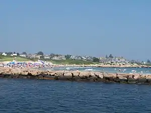 A photo of Weekapaug showing the breachway, jetty, channel, Fenway Beach, and numerous ocean front homes. | |
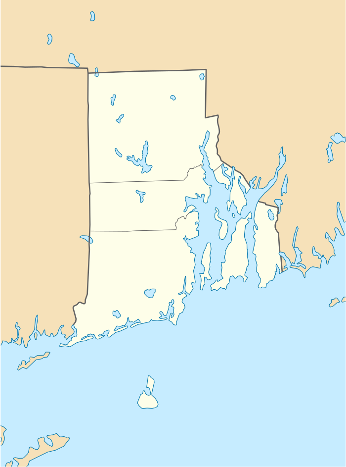 Weekapaug, Rhode Island Location in the state of Rhode Island | |
| Coordinates: 41°19′51″N 71°45′18″W | |
| Country | United States |
| State | Rhode Island |
| County | Washington |
| Area | |
| • Total | 1.20 sq mi (3.1 km2) |
| • Land | 1.16 sq mi (3.0 km2) |
| • Water | 0.036 sq mi (0.09 km2) |
| Elevation | 7 ft (2 m) |
| Population (2010) | |
| • Total | 425 |
| • Density | 350/sq mi (140/km2) |
| Time zone | UTC-5 (Eastern (EST)) |
| • Summer (DST) | UTC-4 (EDT) |
| ZIP code | 02891 |
| Area code(s) | 401 |
| FIPS code | 44-75920[1] |
| GNIS feature ID | 2631342[2] |
History
"Weekapaug" is a Narragansett word meaning "at the end of the pond". The area is not as well known as neighboring Watch Hill, Rhode Island, even though it has had summer cottages since 1877. It was known as "Noyes Beach" from 1701 to 1899, named after Reverend James Noyes who purchased 300 acres (1.2 km2). It is the namesake of the Phish song “Weekapaug groove”.
Geography
According to the United States Census Bureau, the CDP has a total area of 1.20 mi2 (3.1 km2). 1.16 mi2 (3.0 km2) of it is land and 0.036 mi2 (0.09 km2) of it (3.00%) is water.[4] The Winnapaug and Quonochontaug salt ponds dominate the area. Each pond is open to the Atlantic Ocean via a breachway lined with rock jetties. Most of the rock is granite which is readily available in the Westerly area and used to be its primary industry.
References
- "U.S. Census website". United States Census Bureau. Retrieved 2008-01-31.
- "US Board on Geographic Names". United States Geological Survey. Retrieved 2020-07-21.
- "Summary Population and Housing Characteristics: 2010". United States Census Bureau. Retrieved July 20, 2020.
- "US Gazetteer files: 2019". United States Census Bureau. Retrieved 2020-07-19.
- Aubin, George Francis. (1975). A Proto-Algonquian Dictionary. Ottawa : National Museums of Canada.
- Huden, John C. (1962). Indian Place Names of New England, Museum of the American Indian Heye Foundation.
External links
Municipalities and communities of Washington County, Rhode Island, United States | ||
|---|---|---|
| Towns | 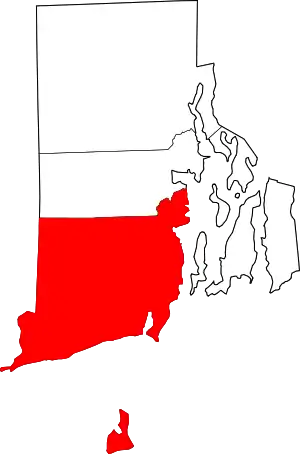 Map of Rhode Island highlighting Washington County | |
| CDPs | ||
| Other villages | ||
| Indian reservation | ||
| ||