Wentnor
Wentnor is a village and civil parish in Shropshire, England.
| Wentnor | |
|---|---|
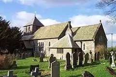
 St. Michael and All Angels church, Wentnor | |
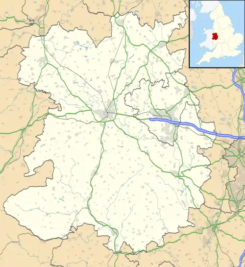
 Wentnor Location within Shropshire | |
| Population | 346 (2011)[1] |
| OS grid reference | SO382927 |
| Civil parish |
|
| Unitary authority | |
| Ceremonial county | |
| Region | |
| Country | England |
| Sovereign state | United Kingdom |
| Post town | Bishop's Castle |
| Postcode district | SY9 |
| Dialling code | 01588 |
| Police | West Mercia |
| Fire | Shropshire |
| Ambulance | West Midlands |
| UK Parliament | |
It lies to the west of the Long Mynd and between the village and the hill range is the dispersed settlement of Prolly Moor. The village itself is situated atop a hill, which rises to 269 metres (883 ft) above sea level, with the Criftin Brook to the east and the River East Onny to the west.[2] The nearest towns are Church Stretton and Bishop's Castle, the village of Asterton lies 1 mile to the south east of the village.
There is a parish church and two public houses: the "Crown" in the village itself and the "Inn on the Green" which is in a hamlet, just outside the village, by the River East Onny called The Green.[3]
Transport
The village no longer has a local bus service, Church Stretton railway station is 6 miles away and provides regular rail services to South Wales and the North.
See also
References
| Wikimedia Commons has media related to Wentnor. |
- "Civil Parish population 2011". Retrieved 22 November 2015.
- Ordnance Survey mapping
- Shropshire Pub Survey Wentnor
