West Howe
West Howe is a suburb of Bournemouth, Dorset, England, located in the north-west provinces of the borough.
| West Howe | |
|---|---|
.jpg.webp) Shops on Cunningham Crescent | |
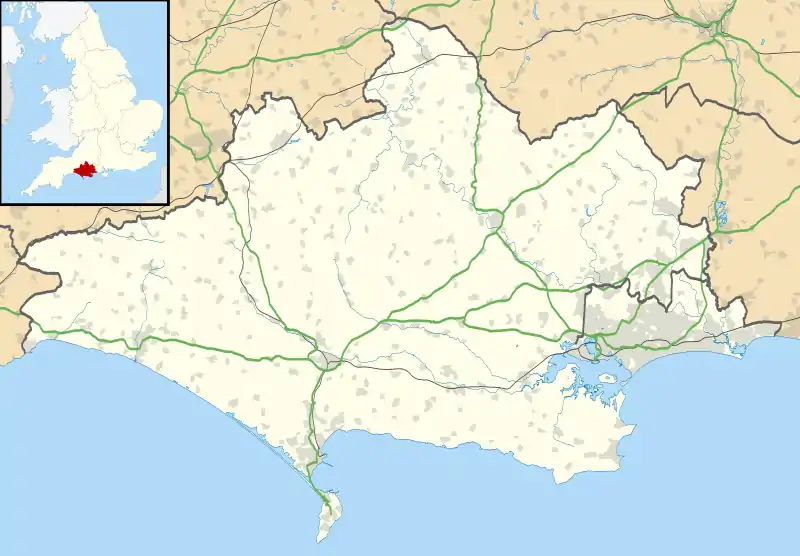 West Howe Location within Dorset | |
| OS grid reference | SZ0568 |
| Unitary authority | |
| Ceremonial county | |
| Region | |
| Country | England |
| Sovereign state | United Kingdom |
| Post town | BOURNEMOUTH |
| Postcode district | BH11 |
| Dialling code | 01202 |
| Police | Dorset |
| Fire | Dorset and Wiltshire |
| Ambulance | South Western |
| UK Parliament | |
Largely consisting of affordable housing owned by the Local Authority, many of the homes have been purchased by long term residents of the area.
Origins
The district takes its name from the Old English noun 'howe', usually defined as denoting a ridge of elevated ground.[1] Certainly, there is a ridge of high land in this part of Bournemouth, and it was along this ridge that the hamlets of High Howe, West Howe and East Howe were established.
The area was mainly farmland until the early years of the twentieth century, when E. A. Elliot moved his pottery works here from Bear Cross further north. The clay was superior to that at Bear Cross and from 1912, roofing tiles and terra cotta ware were manufactured here in addition to bricks that were being used in the course of Bournemouth's urban expansion. By 1927, bricks for domestic fireplaces were also being manufactured here along with drainage pipes, this continuing until 1966 when the potteries were closed.[2]
Development
There were few properties in West Howe until the late 1940s, when Bournemouth Borough Council began developing estates in the wake of the post-war housing crisis. However, a few pre-war properties did exist. On the western boundary of the area stood the Shoulder of Mutton pub and next to this, a house built by Mr. Sherry, a baker from Winton in Bournemouth, who had become mentally unstable and had retired from the bakery; periodically, he was said to ride on a white horse through Winton, announcing himself as the new Messiah.[3]
Life on the post-war estates at West Howe was hardly idyllic; Stillmore Road, in particular, acquired the nickname "Slag Alley", on account of the black dust that billowed into houses from the roof-high mounds of slag on nearby industrial land. Several types of slag could be found lurking in West Howe properties.[4] A deputation of tenants raised the matter with Bournemouth Borough Council in 1958. The council solved the problem by putting the slag company in touch with a local firm that made breeze blocks out of clinker slag; this appears to have abated the nuisance.[4]
Community
In 2007 it was reported that West Howe was one of the most economically deprived areas in England, with an estimated 37% of the population living below the poverty line.[5] West Howe has three schools (including Oak Academy), three churches, two youth clubs, a library and a health centre in Cunningham Crescent.[2]
References
- West Howe History Group (1983), p. 18.
- 'About West Howe', http://www.westhowe.net/#/west-howe-area/4542361524. Retrieved 2016-01-03.
- West Howe History Group (1983), p. 16.
- The Bournemouth Times, 18 April 1958.
- "Below the poverty line: Life in West Howe, one of England's most deprived wards (From Bournemouth Echo)". Bournemouthecho.co.uk. Retrieved 10 July 2015.
Bibliography
West Howe History Group, West Howe Proper (Wimborne: Word and Action (Dorset) Ltd., 1983). ISBN 0-904939-28-6
