Wheeless, Oklahoma
Wheeless is an unincorporated community in Cimarron County, Oklahoma, United States.[1] The post office was established February 12, 1907, and discontinued September 27, 1963. Nearby are the ruins of Camp Nichols, a military encampment on the Santa Fe Trail, which is a National Historic Landmark.[2]
Wheeless, Oklahoma | |
|---|---|
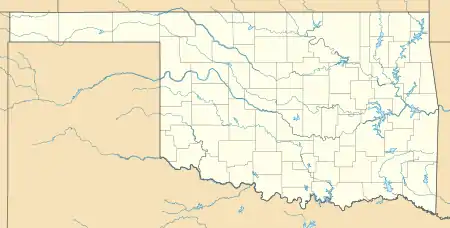 Wheeless Location within the state of Oklahoma  Wheeless Wheeless (the United States) | |
| Coordinates: 36°43′9″N 102°53′40″W | |
| Country | United States |
| State | Oklahoma |
| County | Cimarron |
| Elevation | 4,675 ft (1,425 m) |
| Time zone | UTC-6 (Central (CST)) |
| • Summer (DST) | UTC-5 (CDT) |
| GNIS feature ID | 1100935 |
Wheeless is on E0200Rd;[3] the New Mexico border is approximately six miles west.[4] The closest highway access points are east and then north to Oklahoma State Highway 325 at the curve where that road turns north after running west from Boise City,[3] or west and then south to the very short New Mexico State Road 410, which links to New Mexico State Road 406,[4] about two miles to the west.[5] The Texhomex bench mark, being the meeting point of Texas, Oklahoma, and New Mexico, is south-southwest of town.[6][7]
Notes
- "Wheeless, Oklahoma". Geographic Names Information System. United States Geological Survey.
- Camp Nichols, Wheeless, Oklahoma; National Park Service
- "Wheeless, Oklahoma". Google Maps. Retrieved September 10, 2020.
- "Clayton Public Schools, NM to Wheeless, OK". Google Maps. Retrieved September 10, 2020.
- "Posted Route: Legal Description" (PDF). New Mexico Department of Transportation. March 16, 2010. p. 79. Retrieved September 10, 2020.
- "Oklahoma, Texas, New Mexico". SimpsonFamilyOKC. Retrieved January 1, 2021.
- "Texhomex Bench Mark to Wheeless, Oklahoma". Google Maps. Retrieved January 1, 2021.
Municipalities and communities of Cimarron County, Oklahoma, United States | ||
|---|---|---|
| City | 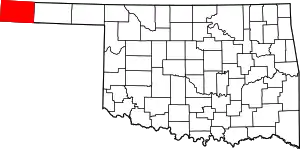 Map of Oklahoma highlighting Cimarron County | |
| Town | ||
| CDPs | ||
| Other unincorporated communities | ||
| ||