Winterbourne Stoke
Winterbourne Stoke is a village and civil parish in Wiltshire, England, about 5 miles (8 km) west of Amesbury and 3 miles (4.8 km) west of the prehistoric monument of Stonehenge.
| Winterbourne Stoke | |
|---|---|
 Cottages and church | |
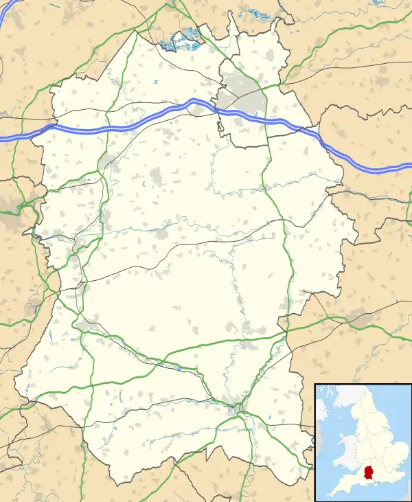 Winterbourne Stoke Location within Wiltshire | |
| Population | 205 (in 2011)[1] |
| OS grid reference | SU077411 |
| Civil parish |
|
| Unitary authority | |
| Ceremonial county | |
| Region | |
| Country | England |
| Sovereign state | United Kingdom |
| Post town | Salisbury |
| Postcode district | SP3 |
| Dialling code | 01980 |
| Police | Wiltshire |
| Fire | Dorset and Wiltshire |
| Ambulance | South Western |
| UK Parliament | |
The village is on the River Till at the southern edge of Salisbury Plain, on both sides of a single-carriageway stretch of the busy A303 trunk road.
Geography
The parish of Winterbourne Stoke mostly consists of downland, with chalk outcrops in places. It is bisected from north to south by the River Till, which rises to the north on Salisbury Plain, and which was originally called the River Winterbourne.[2] The village is located at the junction of the B3083, running north and south, and the A303 trunk road, running east and west.[3] The land is gently sloping; level areas near the river have been used as meadowland and slightly sloping land for arable cropping since the Middle Ages.[2]
Most of the Parsonage Down national nature reserve is within the parish. This ancient downland is rich in wild flowers as well as having scrubby areas where yellowhammers and turtle doves flourish.[4]
History
Especially in its east part, the parish is rich in archaeological remains. The Greater and Lesser Cursus are Neolithic monuments, and there are a group of seventeen long barrows, some of which are in neighbouring parishes. A Romano-British settlement has been identified on Winterbourne Stoke Down, as well as some medieval earthworks.[2]
Notable buildings
The Church of England parish church of St Peter (12th century with 19th-century restoration) is Grade II* listed,[5] as is the 17th-century Manor House.[6] The church has the pulpit from St Giles at the deserted village of Imber.[7]
Road
The A303 which passes through the village is a primary route linking London and central southern England with the southwest. Plans to reroute the road north of the village, as part of the Stonehenge tunnel project, received Development Consent Order approval in 2020.[8]
References
- "Wiltshire Community History - Census". Wiltshire Council. Retrieved 28 July 2015.
- "Parishes: Winterbourne Stoke". British History Online. Retrieved 3 September 2016.
- Concise Road Atlas of Britain. AA Publishing. 2016. p. 18. ISBN 978-0-7495-7743-8.
- "Parsonage Down". Wiltshire's National Nature Reserves. Wiltshire County Council. Retrieved 3 September 2016.
- Historic England. "Church of St Peter, Winterbourne Stoke (1130975)". National Heritage List for England. Retrieved 28 July 2015.
- Historic England. "Manor House, Winterbourne Stoke (1130971)". National Heritage List for England. Retrieved 28 July 2015.
- Historic England. "Church of St Giles, Imber (1036472)". National Heritage List for England. Retrieved 28 July 2015.
- "A303 Stonehenge | National Infrastructure Planning". Planning Inspectorate. Retrieved 15 November 2020.
External links
![]() Media related to Winterbourne Stoke at Wikimedia Commons
Media related to Winterbourne Stoke at Wikimedia Commons
