Womenswold
Womenswold is a village and civil parish centred 7 miles (11 km) south-east of Canterbury, Kent, England, 1 mile to the east of the A2 road. The parish consists of three hamlets: Womenswold, Woolage Village and Woolage Green.
| Womenswold | |
|---|---|
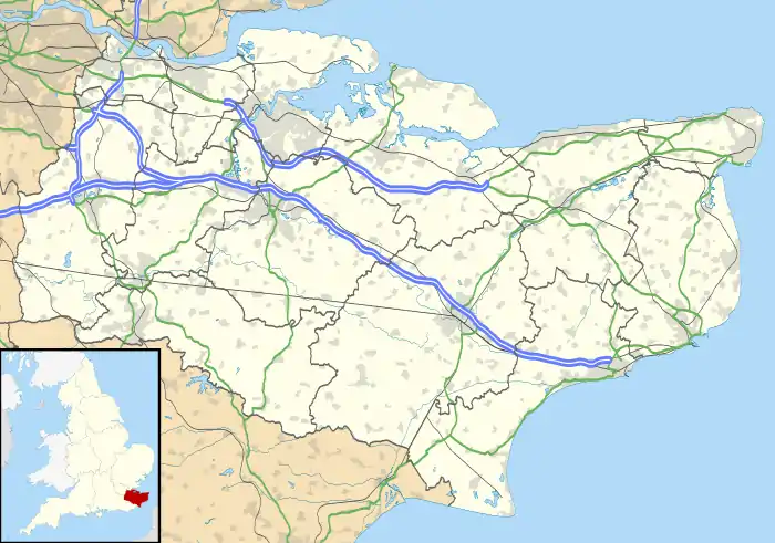 Womenswold Location within Kent | |
| Area | 7.44 km2 (2.87 sq mi) |
| Population | 286 (Civil Parish 2011)[1] |
| • Density | 38/km2 (98/sq mi) |
| OS grid reference | TR227508 |
| Civil parish |
|
| District | |
| Shire county | |
| Region | |
| Country | England |
| Sovereign state | United Kingdom |
| Post town | Canterbury |
| Postcode district | CT4 |
| Dialling code | 01227 |
| Police | Kent |
| Fire | Kent |
| Ambulance | South East Coast |
| UK Parliament | |
Historically, Womenswold has been recorded with various spellings, including Wymynswold[2] and Wimlingswold.[3] A further one may be Wymelyngewolde [4]
The church of St, Margaret of Antioch covers all three hamlets, in Womenswold proper rather than the woodland, cereal and pasture fields within its bounds. A small mediaeval building without any side aisles, it is part of the Barham Downs group of churches.
References
- Key Statistics; Quick Statistics: Population Density United Kingdom Census 2011 Office for National Statistics Retrieved 21 November 2013
- East Bridge Deanery website
- British History Online
- Plea Rolls of the Court of Common Pleas; National Archives; CP 40 / 629, year 1418; http://aalt.law.uh.edu/H5/CP40no629/aCP40no629fronts/IMG_0043.htm; 4th entry; Robert Nethersole of Wymelyngewolde concerning a land deal in Wotton Derham & Denton
External links
| Wikimedia Commons has media related to Womenswold. |

This article is issued from Wikipedia. The text is licensed under Creative Commons - Attribution - Sharealike. Additional terms may apply for the media files.
