Yuntai Mountain (Matsu)
The Yuntai Mountain (Chinese: 雲台山; pinyin: Yúntái Shān) is a mountain in Nangan Township, Lienchiang County, Taiwan. It is the highest point in Nangan.[1][2]
| Yuntai Mountain | |
|---|---|
 | |
| Highest point | |
| Elevation | 248 m (814 ft) |
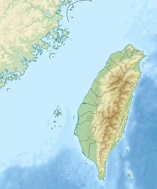
| Coordinates | 26°09′02.2″N 119°55′23.0″E |
| Naming | |
| Native name | 雲台山 (Chinese) |
| Geography | |
 Yuntai Mountain Taiwan | |
| Location | Nangan, Lienchiang, Taiwan |
Geology
The mountain stands at a height of 248 meters above sea level.[3]
References
- "Introduction to Matsu". Lienchiang County Council. Retrieved 26 September 2019.
- Huang, Maggie (14 June 2018). "A visit to Taiwan's Matsu islands, the time capsule of Chinese Civil War's frontline". Taiwan News. Retrieved 3 December 2020.
- "Yuntai Mountain". Taiwan, the Heart of Asia. Retrieved 26 September 2019.
This article is issued from Wikipedia. The text is licensed under Creative Commons - Attribution - Sharealike. Additional terms may apply for the media files.
