1952 Severo-Kurilsk earthquake
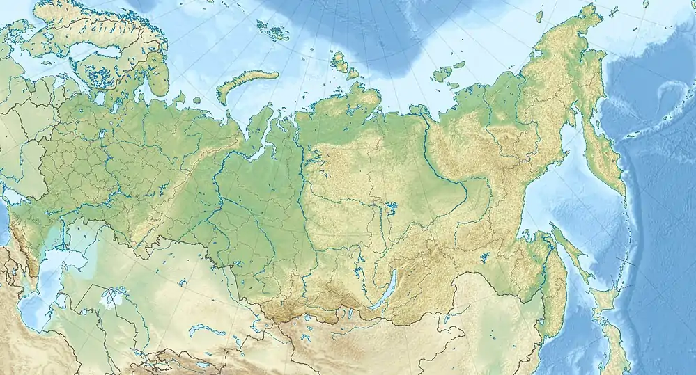
The 1952 Severo-Kurilsk earthquake struck off the coast of the Kamchatka Peninsula. The 9.0 Mw earthquake triggered a major tsunami that hit Severo-Kurilsk, Kuril Islands, Sakhalin Oblast, Russian SFSR, USSR, on 4 November 1952 at 16:58 (UTC).[4] This led to the destruction of many settlements in Sakhalin Oblast and Kamchatka Oblast, while the main impact struck the town of Severo-Kurilsk. It was the sixth most powerful earthquake on record, and to date, the most powerful earthquake in Russian history.
 The site of Severo-Kurilsk before the 1952 tsunami, seen from a helicopter in 2006. The site of the modern town, rebuilt at higher level, is not visible. | |
 | |
| UTC time | 1952-11-04 16:58:30 |
|---|---|
| ISC event | 893648 |
| USGS-ANSS | ComCat |
| Local date | November 5, 1952 |
| Local time | 03:58:30[1] |
| Magnitude | 9.0 Mw [2] |
| Depth | 21.6 km (13 mi) |
| Epicenter | 52.3°N 161.0°E [2] |
| Max. intensity | XI (Extreme) [2] |
| Tsunami | 18 m (59 ft) [3] |
| Casualties | 2,336 dead |
Tsunami
The tsunami was generated 130 kilometers (81 mi) offshore Kamchatka, impacting Severo-Kurilsk with three waves about 15–18 meters (49–59 ft) high.[5] After the earthquake the majority of the Severo-Kurilsk citizens fled to the surrounding hills, where they escaped the first wave. However, most of them returned to the town and were killed by the second wave.[5] According to the authorities, out of a population of 6,000 people, 2,336 died.[1] The survivors were evacuated to continental Russia. The settlement was then rebuilt in another location.
Earthquakes continue to happen in the area, including a M7.5 event that occurred at ~56km depth on 25 March 2020.[6]
References
- "Сливное землетрясение (цунами) 1952 года" [The 1952 drainage earthquake (tsunami)]. Local history bulletin 4 (in Russian). Sakhalin Regional Museum of Local Lore and the Sakhalin Branch of the All-Russian Cultural Fund. 1991. Archived from the original on 20 April 2010. Retrieved 17 October 2020.
- Utsu, T. R. (2002), "A List of Deadly Earthquakes in the World: 1500–2000", International Handbook of Earthquake & Engineering Seismology, Part A, Volume 81A (First ed.), Academic Press, p. 706, ISBN 978-0124406520
- USGS (September 4, 2009), PAGER-CAT Earthquake Catalog, Version 2008_06.1, United States Geological Survey
- "M 9.0 - off the east coast of the Kamchatka Peninsula, Russia". earthquake.usgs.gov. Retrieved 2020-10-05.
- "1952 Kamchatka Tsunami". Western States Seismic Policy Council. Retrieved 2020-10-05.
- https://earthquaketrack.com/quakes/2020-03-25-02-49-21-utc-7-5-56
Sources
- MacInnes, B. T.; Weiss, R.; Bourgeois, J.; Pinegina, T. K. (2010), "Slip Distribution of the 1952 Kamchatka Great Earthquake Based on Near-Field Tsunami Deposits and Historical Records" (PDF), Bulletin of the Seismological Society of America, 100 (4): 1695–1709, Bibcode:2010BuSSA.100.1695M, doi:10.1785/0120090376
External links
- (in Russian) Сливное землетрясение (цунами) 1952 года
- The International Seismological Centre has a bibliography and/or authoritative data for this event.