Abala, Ethiopia
Abala Abqaala, Afar Af is a town Administration in north-eastern Ethiopia. The administrative center of Zone 2 of the Afar Region, this town has a latitude and longitude of 13°22′N 39°45′E with an elevation of 1465 meters above sea level.[2]
Abqaalâ magaalah Xiinisso
Abala
Abqaala Abala town | |
|---|---|
 Abala town administration | |
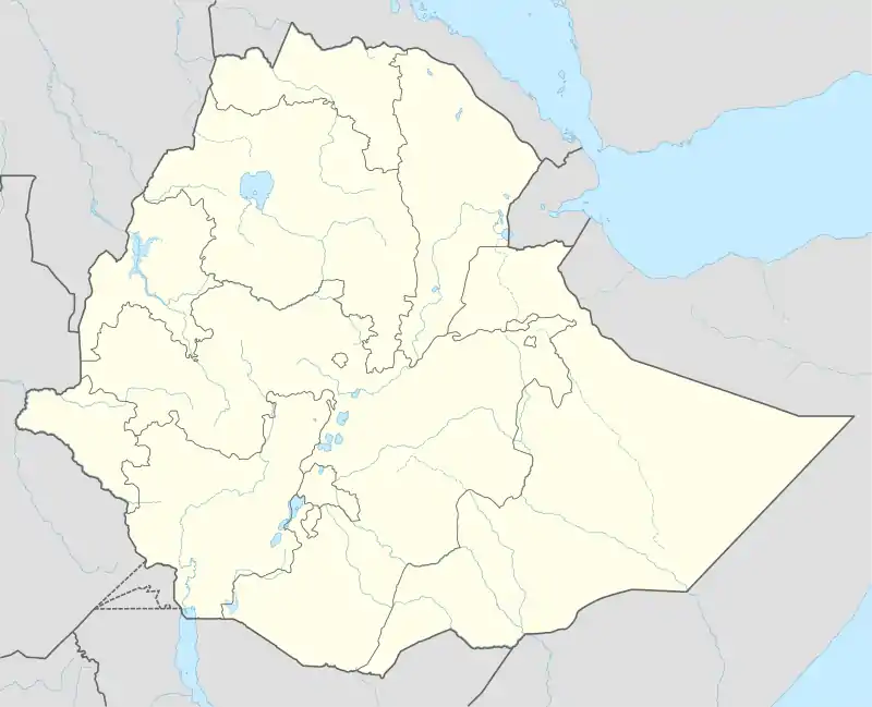 Abala Location in Ethiopia | |
| Coordinates: 13°22′N 39°45′E | |
| Country | |
| Region | Afar Region |
| Zone | Administrative Zone 2 |
| District | Abala |
| Government | |
| • Type | Mayor |
| • Mayor | Tahir |
| Elevation | 1.465 m (4.806 ft) |
| Population (2005) | |
| • Total | 4,820 |
| Climate | BSh |
Abala is an important trading center in the area for goats, with its market day on Thursday, and supplied by pastoralists from as far away as Afdera, Erebti and Teru woredas.[3]
History
Werner Munzinger visited Abala in June 1867 (which he calls Ala), and mentions that it was the home of Hodeli, a chief of the Dumhoeta Afar, as well as the location of a weekly market on Saturday primarily in salt.[4]
Records at the Nordic Africa Institute website mention the existence of an English mission school, and a church dedicated to Saint Michael.[5]
In July 2010, the Ethiopian Roads Authority awarded the contract to construct a 63 kilometer gravel road from Abala to Shaigubi to Sur Construction, which is owned by the Endowment Fund for the Rehabilitation of Tigray. The contract was worth 707 million Birr. The contract for a second road 109 kilometers in length, from Shaigubi through Male to Dalol, was awarded to Defence Construction and Engineering Enterprise, a division of the Ministry of Defense, and was worth 185 million Birr. These two roads would enable Salnik Coal Mining Plc, an Indian company, to extract potash from its concession at Dallol in the Afar Depression.[6]
Demographics
The population comprises mainly Afar. Tigraians have also migrated to Abala over the decades. The Afar pastoralists in Abala practice transhumance, during drought periods, to remote areas, especially to the escarpment and highlands of Region Tigray. Movements to the Tigray uplands allow the Afar pastoralists to herd their livestock on denser vegetation as well as on standing stubble of croplands. Currently, the Afar pastoralists in Abala become mixed farmers, as they have also established permanent croplands. Communities have clan-based organisations. Most settlements in Abala are composed of a mixture of clans although each locality is identified with a major clan, which allows them to organize social, economic and political support in times of crisis. The majority of the Abala communities are Afar and Muslim. However, Hidmo’s population are all Christian Tigraians who came from the highlands in the mid-20th Century. Unlike most of the houses of the Afar, houses of this Tigraian village are built by stones and mud, the traditional building style of the nearby Inderta district in Tigray.[7]
Based on figures from the Central Statistical Agency in 2005, Abala has an estimated total population of 4,820, of whom 2,518 are men and 2,302 are women.[8] The 1997 census reported this town had a total population of 3,300 of whom 1,613 were men and 1,687 were women. It is the largest settlement in Abala woreda.
Notes
- https://worldelevations.com/abala-town-ab-ala-zone-2-et-1011137746
- Altitude for Abala Town, Ab Ala, Zone 2, Ethiopia worldelevations.com
- "Ethiopia - Road Sector Development Support Program Project: environmental impact assessment (Vol. 4 of 4): Final report for Yalo - Dalol" Ethiopian Roads Authority, June 2002, p. 50 (accessed 14 May 2009)
- Munzinger, "Narrative of a Journey Through the Afar Country," Journal of the Royal Geographical Society, 39 (1869), pp. 206, 221
- "Local History in Ethiopia" Archived 2011-05-28 at the Wayback Machine The Nordic Africa Institute website (accessed 4 June 2008)
- "All Sections of Two New Roads Assigned to Local Construction Firms" Archived July 22, 2011, at the Wayback Machine, Addis fortune, last updated 15 July 2010 (accessed 23 November 2010)
- Nyssen, J. and colleagues (2019). At the edge between Ethiopian plateau and Rift Valley. In: Nyssen, J., Biadgilgn Demissie, Tesfaalem Ghebreyohannes (eds.). Land, water, people and landscapes in north Ethiopia’s grabens, pp. 48-54. VLIR-UOS, Mekelle University, Ghent University, KU Leuven. ISBN 9789082922226.
- CSA 2005 National Statistics Archived 2008-07-31 at the Wayback Machine, Table B.4