Abura/Asebu/Kwamankese District
The Abura/Asebu/Kwamankese District is one of the seventeen districts in the Central Region of south Ghana.[1] The capital is Abura-Dunkwa.
Abura/Asebu/Kwamankese District | |
|---|---|
District | |
 Fort Nassau in Moree, Ghana | |
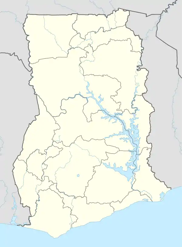
 Central Region districts | |
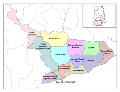
 Abura/Asebu/Kwamankese District Location of Abura/Asebu/Kwamankese District in Central Region | |
| Coordinates: 5°58′0″N 1°47′0″W | |
| Country | Ghana |
| Region | Central Region |
| Capital | Abura-Dunkwa |
| Government | |
| • District Executive | [1] |
| Area | |
| • Total | 324 km2 (125 sq mi) |
| Time zone | UTC+0 (Greenwich Mean Time) |
| • Summer (DST) | GMT |
History
The ancient Akan Asebu Kingdom was also situated in this District.
Demographics
As of the 2010 Ghana census Abura-Asebu-Kwamankese had a population of 117,185.[2]
List of settlements
| Settlements of Abura/Asebu/Kwamankese District | |||
| No. | Settlement | Population | Population year |
|---|---|---|---|
| 1 | Abakrampa | ||
| 2 | Aboenu | ||
| 3 | Abura-Dunkwa | ||
| 4 | Akonoma | ||
| 5 | Amosima | ||
| 6 | Asebu | ||
| 7 | Asebu Ekroful | ||
| 8 | Asuansi | ||
| 9 | Ayeldu | ||
| 10 | Batanyaa | ||
| 11 | Brafoyaw | ||
| 12 | Edumfa | ||
| 13 | Katayiase | ||
| 14 | Obohen/Odumasi | ||
| 15 | Obokor | ||
| 16 | New Ebu | ||
| 17 | New Odonase | ||
| 18 | Nyanfeku-Ekrofur | ||
| 19 | Nyamedome | ||
| 20 | Moree | ||
| 21 | Abura Gyabankrom | ||
| 22 | Abura Tayedo | ||
| 23 | Abura Tuakwa | ||
| 24 | Amoanda | ||
| 25 | Kobina Ansa | ||
Odonase
Abura Egotsia Kokodo Egotsia Bonmu Abora Aboase
References
Sources
- "Abura/ Asebu/ Kwamankese District". Retrieved 17 May 2020.
- "Census report for district" (PDF). Archived from the original (PDF) on 2016-03-05. Retrieved 2016-08-28.
| Metropolitan |
| .svg.png.webp) |
|---|---|---|
| Municipal |
| |
| District |
| |
This article is issued from Wikipedia. The text is licensed under Creative Commons - Attribution - Sharealike. Additional terms may apply for the media files.
