Achutupo Airport
Achutupo Airport (IATA: ACU) is an airport serving the island town of Achutupo, in the San Blas archipelago of Panama. The runway is located on the mainland, 0.7 kilometres (0.4 mi) southwest of the island and is reached by boat.
Achutupo Airport | |||||||||||
|---|---|---|---|---|---|---|---|---|---|---|---|
| Summary | |||||||||||
| Serves | Achutupo, Panama | ||||||||||
| Location | Guna Yala Comarca | ||||||||||
| Elevation AMSL | 16 ft / 5 m | ||||||||||
| Coordinates | 9°11′25″N 77°59′40″W | ||||||||||
| Map | |||||||||||
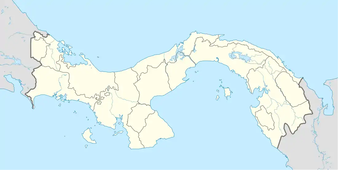
 ACU Location of the airport in Panama | |||||||||||
| Runways | |||||||||||
| |||||||||||
Source: Google Maps[1] | |||||||||||
There is rising terrain south of the runway. North approach and departure are over the water.
The La Palma VOR (Ident: PML) is located 47.5 nautical miles (88 km) south of the airport.[2]
Airlines and destinations
| Airlines | Destinations |
|---|---|
| Air Panama | Panama City-Albrook |
See also
 Panama portal
 Aviation portal
- Transport in Panama
- List of airports in Panama
References
- Google Maps - Achutupo
- "La Palma VOR". Our Airports. Retrieved 8 November 2018.
External links
- OpenStreetMap - Achutupo
- Great Circle Mapper - Achutupo
- Accident history for ACU at Aviation Safety Network
- Google Earth
This article is issued from Wikipedia. The text is licensed under Creative Commons - Attribution - Sharealike. Additional terms may apply for the media files.
