Chame Airport
Chame Airport (LID: MP24) is an airport serving Chame District, a district in the Panamá Oeste Province of Panama.
Chame Airport | |||||||||||
|---|---|---|---|---|---|---|---|---|---|---|---|
| Summary | |||||||||||
| Airport type | Public | ||||||||||
| Location | Panama | ||||||||||
| Elevation AMSL | 141 ft / 43 m | ||||||||||
| Coordinates | 8°35′20″N 79°53′23″W | ||||||||||
| Map | |||||||||||
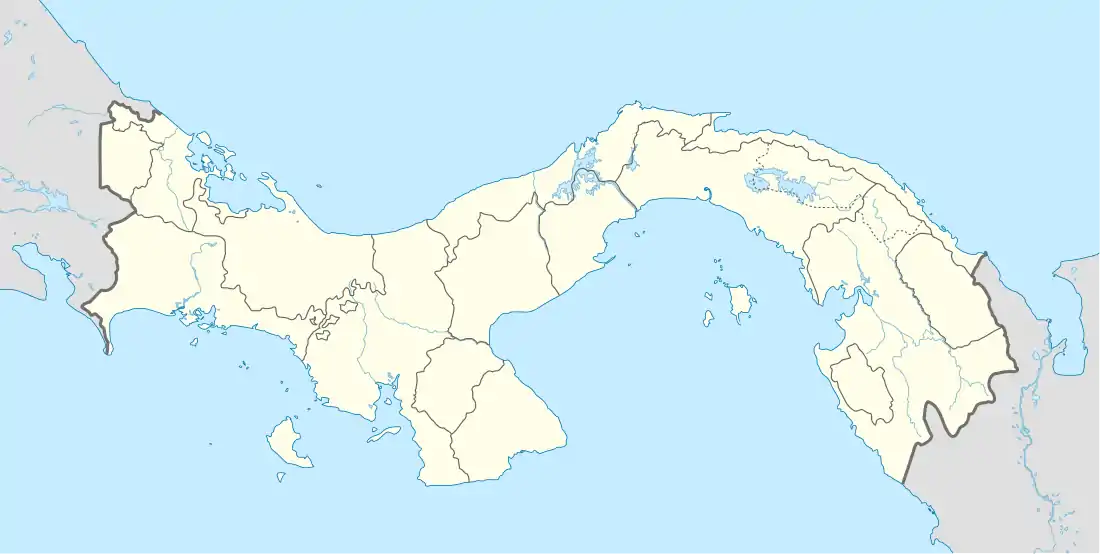
 MP24 Location in Panama | |||||||||||
| Runways | |||||||||||
| |||||||||||
The airport is 4 kilometres (2.5 mi) inland from the Gulf of Panama. There is distant rising terrain to the north.
The Taboga Island non-directional beacon (Ident: TBG) and VOR-DME (Ident: TBG) are 22.9 nautical miles (42.4 km) east-northeast of the airport.[4][5]
History
During World War II the facility was used as an auxiliary military airfield (Chame Airdrome, Chame Airfield #1) of Howard Field as part of the defense of the Panama Canal. Assigned units were the USAAF 53d Fighter Group, 14th Fighter Squadron (2 January-24 November 1942) and 28th Fighter Squadron (10 November 1942 – 25 September 1945) flying P-39 Airacobras, AT-6, BT-13, and UC-78s.[6][7]
References
- Airport information for Chame Airport at World Aero Data. Data current as of October 2006.
- Airport information for Chame Airport at Great Circle Mapper.
- Chame - Google Maps
- Taboga Island NDB
- Taboga Island VOR
- Maurer, Maurer (1983). Air Force Combat Units Of World War II. Maxwell AFB, Alabama: Office of Air Force History. ISBN 0-89201-092-4 WWII Combat Units
- Maurer, Maurer, ed. (1982) [1969]. Combat Squadrons of the Air Force, World War II (PDF) (reprint ed.). Washington, DC: Office of Air Force History. ISBN 0-405-12194-6. LCCN 70605402. OCLC 72556.
External links
- OpenStreetMap - Chame
- OurAirports - Chame
- FallingRain - Chame Airport
 This article incorporates public domain material from the Air Force Historical Research Agency website http://www.afhra.af.mil/.
.jpg.webp)