Atar International Airport
Atar Airport or Atar International Airport (IATA: ATR, ICAO: GQPA) is an airport serving Atar, a town in the Adrar Region of Mauritania.
Atar Airport | |||||||||||
|---|---|---|---|---|---|---|---|---|---|---|---|
| Summary | |||||||||||
| Airport type | Public | ||||||||||
| Owner | Government | ||||||||||
| Location | Atar, Mauritania | ||||||||||
| Elevation AMSL | 761 ft / 232 m | ||||||||||
| Coordinates | 20°30′24″N 013°02′35″W | ||||||||||
| Map | |||||||||||
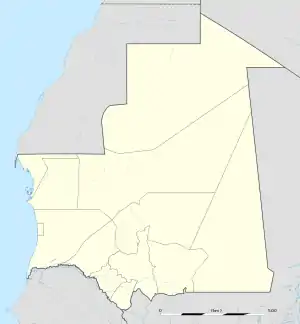 ATR Location within Mauritania | |||||||||||
| Runways | |||||||||||
| |||||||||||
World War II
During World War II, the airport was used by the United States Army Air Forces Air Transport Command as a stopover for cargo, transiting aircraft and personnel on the North African Cairo-Dakar transport route for cargo, transiting aircraft and personnel. It connected to Dakar Airport in the South and Agadir Airport to the north.[3]
References
![]() This article incorporates public domain material from the Air Force Historical Research Agency website http://www.afhra.af.mil/.
This article incorporates public domain material from the Air Force Historical Research Agency website http://www.afhra.af.mil/.
- Airport information for GQPA at World Aero Data. Data current as of October 2006.Source: DAFIF.
- Airport information for ATR at Great Circle Mapper. Source: DAFIF (effective October 2006).
- File:Atcroutes-1sep1945.jpg
This article is issued from Wikipedia. The text is licensed under Creative Commons - Attribution - Sharealike. Additional terms may apply for the media files.