Bafoulabé Airport
Bafoulabé Airport (ICAO: GABF) is an airstrip serving Bafoulabé, a town and commune in the Bafoulabé Cercle of the Kayes Region of Mali. Bafoulabé is on the Senegal River at its confluence from the Bafing and Bakoy Rivers. The airport is just west of the town.
Bafoulabé Airport | |||||||||||
|---|---|---|---|---|---|---|---|---|---|---|---|
| Summary | |||||||||||
| Airport type | Public | ||||||||||
| Serves | Bafoulabé, Mali | ||||||||||
| Elevation AMSL | 380 ft / 116 m | ||||||||||
| Coordinates | 13°48′25″N 10°50′50″W | ||||||||||
| Map | |||||||||||
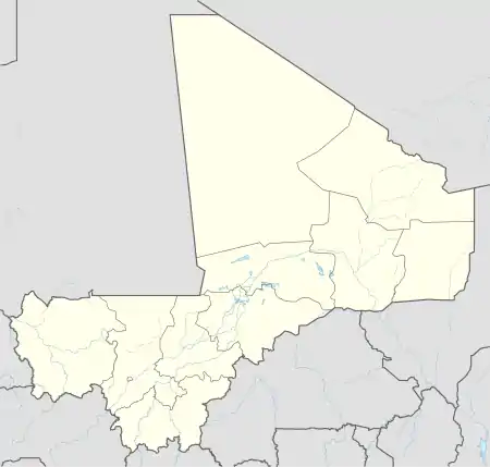 GABF Location of Bafoulabé Airport in Mali | |||||||||||
| Runways | |||||||||||
| |||||||||||
The airport elevation is 380 feet (116 m) above mean sea level. It has one runway that is 900 metres (2,953 ft) long.[1]
The Kayes VOR-DME (Ident:KAY) is 52.6 nautical miles (97 km) northwest of the airport.[3]
References
- Airport information for Bafoulabé Airport at Great Circle Mapper.
- "Bafoulabé Airport". Google Maps. Google. Retrieved 6 January 2019.
- "Kayes VOR". Our Airports. Retrieved 6 January 2019.
External links
- OpenStreetMap - Bafoulabé
- OurAirports - Bafoulabé
- Accident history for Bafoulabé Airport at Aviation Safety Network
This article is issued from Wikipedia. The text is licensed under Creative Commons - Attribution - Sharealike. Additional terms may apply for the media files.