Kéniéba Airport
Kéniéba Airport (IATA: KNZ, ICAO: GAKA) is an airport serving Kéniéba,[1] a city in the Kéniéba, a city and commune of the Kéniéba Cercle in the Kayes Region of Mali.
Kéniéba Airport | |||||||||||
|---|---|---|---|---|---|---|---|---|---|---|---|
| Summary | |||||||||||
| Airport type | Public | ||||||||||
| Serves | Kéniéba, Mali | ||||||||||
| Elevation AMSL | 449 ft / 137 m | ||||||||||
| Coordinates | 12°50′21″N 11°15′10″W | ||||||||||
| Map | |||||||||||
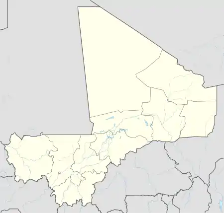 K Location of Kéniéba Airport in Mali | |||||||||||
| Runways | |||||||||||
| |||||||||||
The airport is at an elevation of 449 feet (137 m) above mean sea level. It has one runway that is 900 metres (2,953 ft) long.[1]
References
- Airport information for GAKA at Great Circle Mapper.
- Accident history for KNZ at Aviation Safety Network
This article is issued from Wikipedia. The text is licensed under Creative Commons - Attribution - Sharealike. Additional terms may apply for the media files.