Mopti Airport
Mopti Airport (IATA: MZI, ICAO: GAMB), also known as Ambodedjo Airport, serves the city of Mopti, in the Mopti Region in Mali. It is located near the town of Sévaré.
Mopti Airport Ambodedjo Airport | |||||||||||
|---|---|---|---|---|---|---|---|---|---|---|---|
 | |||||||||||
| Summary | |||||||||||
| Airport type | Public / Military | ||||||||||
| Serves | Mopti, Mali | ||||||||||
| Location | Sévaré | ||||||||||
| Elevation AMSL | 909 ft / 277 m | ||||||||||
| Coordinates | 14°30′46″N 004°04′46″W | ||||||||||
| Map | |||||||||||
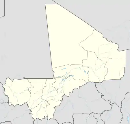 MZI Location of airport in Mali | |||||||||||
| Runways | |||||||||||
| |||||||||||
Facilities
The airport resides at an elevation of 906 feet (276 m) above mean sea level. It has one runway designated 05/23 with an asphalt surface measuring 2,542 by 29 metres (8,340 ft × 95 ft).[1]
Airlines and destinations
There are no scheduled services since April 2014, when Air Mali suspended its operations.
References
- Airport information for GAMB from DAFIF (effective October 2006)
- Airport information for MZI at Great Circle Mapper. Source: DAFIF (effective October 2006).
External links
This article is issued from Wikipedia. The text is licensed under Creative Commons - Attribution - Sharealike. Additional terms may apply for the media files.