Balch Camp, California
Balch Camp is an unincorporated community in Fresno County, California.[1] It is located near the confluence of the North Fork of the Kings River and Dinkey Creek 38 miles (61 km) east-northeast of Fresno,[2] at an elevation of 1273 feet (388 m).[1]
Balch Camp | |
|---|---|
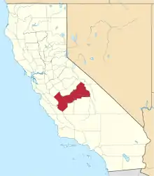
 Balch Camp Location in California  Balch Camp Balch Camp (the United States) | |
| Coordinates: 36°54′11″N 119°07′23″W | |
| Country | United States |
| State | California |
| County | Fresno County |
| Elevation | 1,273 ft (388 m) |
Lying deep within the foothills of the Sierra Nevada, Balch Camp is about 59 road miles, and one hour; 50 minutes from Fresno Yosemite International Airport (via Bailey Bridge).[3]
References
- U.S. Geological Survey Geographic Names Information System: Balch Camp, California
- Durham, David L. (1998). California's Geographic Names: A Gazetteer of Historic and Modern Names of the State. Clovis, Calif.: Word Dancer Press. p. 997. ISBN 1-884995-14-4.
- http://right-directions-ca.com/driving-directions Suggested routes: Bailey Bridge Rd, Trimmer Springs Rd, Belmont Ave. 58.7 mi. About 1 hour 50 mins from Fresno Yosemite International Airport. Mapquest: via Big Creek Rd 1hr 53min 66.8mi. Retrieved April 2, 2019
This article is issued from Wikipedia. The text is licensed under Creative Commons - Attribution - Sharealike. Additional terms may apply for the media files.