Wahtoke, California
Wahtoke (formerly, Wahtoka)[2] is an unincorporated community in Fresno County, California.[1] It is located on the Atchison, Topeka and Santa Fe Railroad 4.5 miles (7.2 km) south-southeast of Centerville,[2] at an elevation of 361 feet (110 m).[1]
Wahtoke | |
|---|---|
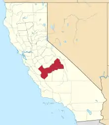
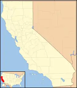 Wahtoke Location in California  Wahtoke Wahtoke (the United States) | |
| Coordinates: 36°40′37″N 119°27′28″W | |
| Country | United States |
| State | California |
| County | Fresno County |
| Elevation | 361 ft (110 m) |
The Wahtoka post office operated from 1905 to 1916.[2] "Wahtoke" is a name derived from a Native American language meaning "pine nuts".[3]
References
- U.S. Geological Survey Geographic Names Information System: Wahtoke, California
- Durham, David L. (1998). California's Geographic Names: A Gazetteer of Historic and Modern Names of the State. Clovis, Calif.: Word Dancer Press. p. 1123. ISBN 1-884995-14-4.
- Sullivan, Ron (December 7, 2002). "Roots of native names". SFGate. Retrieved 27 March 2018.
This article is issued from Wikipedia. The text is licensed under Creative Commons - Attribution - Sharealike. Additional terms may apply for the media files.