Bamunara
Bamunara is a census town in the Kanksa CD block in the Durgapur subdivision of the Paschim Bardhaman district in the Indian state of West Bengal.
Bamunara | |
|---|---|
Census Town | |
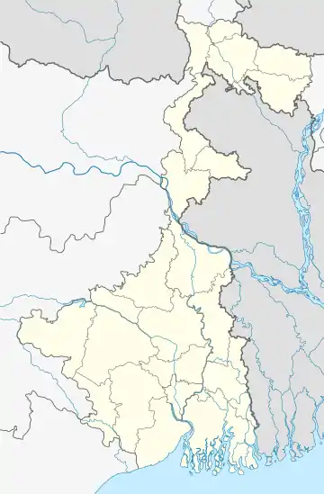
 Bamunara Location in West Bengal, India  Bamunara Bamunara (India) | |
| Coordinates: 23.501199°N 87.363495°E | |
| Country | |
| State | West Bengal |
| District | Paschim Bardhaman |
| Area | |
| • Total | 4.9615 km2 (1.9156 sq mi) |
| Population (2011) | |
| • Total | 15,967 |
| • Density | 3,200/km2 (8,300/sq mi) |
| Languages | |
| • Official | Bengali, English |
| Time zone | UTC+5:30 (IST) |
| PIN | 713212 |
| Telephone/ STD code | 0341 |
| Vehicle registration | WB |
| Lok Sabha constituency | Bardhaman-Durgapur |
| Vidhan Sabha constituency | Durgapur Purba |
| Website | paschimbardhaman |
Geography
| Cities and towns in the southern and eastern portions of Durgapur subdivision in Paschim Bardhaman district MC: Municipal Corporation, CT: census town, R: rural centre, A: airport, B: barrage, H: historical site Owing to space constraints in the small map, the actual locations in a larger map may vary slightly |
Location
Bamunara is located at 23.501199°N 87.363495°E.
Arra, Bamunara, Gopalpur and Amlajora form a cluster of census towns in the western portion of Kanksa CD block and adjacent to Durgapur Municipal Corporation area.[1]
Urbanisation
According to the 2011 census, 79.22% of the population of the Durgapur subdivision was urban and 20.78% was rural. The sole municipal corporation in the Durgapur subdivision is located at Durgapur and the subdivision has 38 (+1 partly) census towns (partly presented in the map alongside; all places marked on the map are linked in the full-screen map).[2]
Demographics
According to the 2011 Census of India, Bamunara had a toal population of 6,665 of which 3,399 (51%) were males and 3,266 (49%) were females. Population in the age range 0–6 years was 728. The total number of literate persons in Bamunara was 4,584 (77.21% of the population over 6 years).[3]
In the 2011 census, Durgapur Urban Agglomeration had a population of 581,409 out of which 301,700 were males and 279,709 were females. The 0–6 years population was 51,930. Effective literacy rate for the 7+ population was 87.70.[4] Durgapur Urban Agglomeration included Durgapur (M. Corp), Bamunara and Arra.[5]
Infrastructure
According to the District Census Handbook 2011, Bardhaman, Bamunara covered an area of 4.9615 km2. Among the civic amenities, it had 7 km roads with open drain, the protected water-supply involved overhead tank, tubewell, borewell, hand pump. It had 1,000 domestic electric connections. Among the medical facilities it had 1 family welfare centre, 1 maternity and child welfare centre, 1 charitable hospital/ nursing home, 5 medicine shops. Among the educational facilities it had were 5 primary schools, other school facilities at Gopalpur 2 km away. It had one non-formal education centre (Sarva Shiksha Abhiyan). Among the social, recreational, cultural facilities it had one public library and one reading room. Among the important commodities it produced were rice, bamboo products.[6]
Industry
Mackeil Ispat & Forging Ltd., located In Bamunara Industrial Estate, is a large open die forging unit. It has modern machining facilities, comprehensive heat treatment facilities and sophisticated metallurgical and inspection facilities.[7]
Transport
Bamunara is on National Highway 19 / Grand Trunk Road.[8]
References
- "District Census Handbook Bardhaman, Series 20, Part XII A, Census of India 2011" (PDF). Map of Kanksa CD Block, page 281. Directorate of Census Operations, West Bengal. Retrieved 12 September 2018.
- "District Statistical Handbook 2014 Burdwan". Table 2.2, 2.4(a). Department of Statistics and Programme Implementation, Government of West Bengal. Archived from the original on 21 January 2019. Retrieved 15 September 2018.
- "2011 Census – Primary Census Abstract Data Tables". West Bengal – District-wise. Registrar General and Census Commissioner, India. Retrieved 12 September 2018.
- "Urban Agglomerations/Cities having population 1 lakh and above" (PDF). Provisional Population Totals, Census of India 2011. Government of India. Retrieved 2011-10-10.
- "Constituents of urban Agglomerations Having Population 1 Lakh & above" (PDF). Provisional Population Totals, Census of India 2011. Government of India. Retrieved 2012-03-27.
- "District Census Handbook Barddhaman, Census of India 2011, Series 20, Part XII A" (PDF). Section II Town Directory, Pages 1179-1210; Statement I: Status and Growth History, Page 1179; Statement II: Physical Aspects and Location of Towns, Page 1188; Statement III: Civic and other Amenities, Page 1191; Statement IV: Medical Facilities, Page 1196; Statement V: Educational, Recreational and Cultural Facilities, Page 1200; Statement VI:Industry and Banking, Page 1209. Directorate of census Operations V, West Bengal. Retrieved 14 May 2020.
- "Mackeil Ispat & Forgings Ltd". MIFL. Retrieved 12 September 2018.
- Google maps