Sonpur Bazari
Sonpur and Bazari are two villages that have lent their name to the Sonpur-Bazari open cast coal mines project in the Pandabeswar CD block in the Durgapur subdivision of the Paschim Bardhaman district in the state of West Bengal, India.
Sonpur Bazari | |
|---|---|
Villages | |
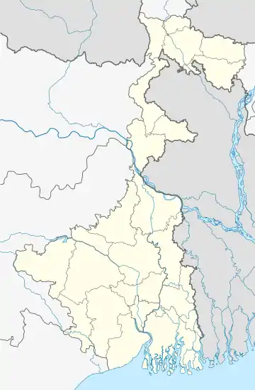
 Sonpur Bazari Location in West Bengal, India  Sonpur Bazari Sonpur Bazari (India) | |
| Coordinates: 23°41′28.3″N 87°12′44.3″E | |
| Country | |
| State | West Bengal |
| District | Paschim Bardhaman |
| Population (2011) | |
| • Total | 3,941 |
| Languages* | |
| • Official | Bengali, Hindi English |
| Time zone | UTC+5:30 (IST) |
| PIN | 713378 |
| Telephone/STD code | 0341 |
| Lok Sabha constituency | Asansol |
| Vidhan Sabha constituency | Pandaveswar |
| Website | paschimbardhaman |
Geography
| Cities, towns and ECL Areas in the northern portion of Durgapur subdivision in Paschim Bardhaman district MC: Municipal Corporation, CT: census town, R: rural administrative centre Owing to space constraints in the small map, the actual locations in a larger map may vary slightly |
Demographics
According to the 2011 Census of India, Sonpur had a total population of 2,358, of which 1,187 (50%) were males and 1,171 (50%) were females. Population in the age range 0-6 years was 272. The total number of literate persons in Sonpur was 1,400 (67.11% of the population over 6 years).[1]
According to the 2011 Census of India, Bazari had a total population of 1,583, of which 797 (50%) were males and 786 (50%) were females. Population in the age range 0-6 years was 204. The total number of literate persons in Bazari was 947 (68.67% of the population over 6 years).[1]bazari
*For language details see Pandabeswar (community development block)#Language and religion
Economy
Open Cast Project
Sonpur Bazari Open Cast Project of Eastern Coalfields was approved in 1995. The targeted output in 2016-17 was 8 million tonnes. Mineable reserve as on 1/4/2015 was 179.60 million tonnes. Balance life of the project as on 1/4/2012 was 23 years.[2]
Sonpur Bazari Area
Sonpur Bazari OCP is the only colliery in the Sonepur Bazari Area of ECL.[3]
See also - Pandaveswar Area#Mining plan - it includes Sonpur Bazari
Transport
National Highway 14 (old number NH 60) passes in between the Sonpur and Bazari villages and near the OCP.[4]
The nearest railway station is at Pandabeswar.
Healthcare
Medical facilities (dispensary) in the Sonpur Bazari Area of ECL are available at Sonpur Bazari (PO Bahula).[5]
References
- "2011 Census – Primary Census Abstract Data Tables". West Bengal – District-wise. Registrar General and Census Commissioner, India. Retrieved 20 February 2017.
- "Sonepur Bazari Area". Eastern Coalfields Limited. Retrieved 16 January 2017.
- "Coalmining impact on the Environment" (PDF). Chapter V: Table 5.2. shodganga.infibnet. Retrieved 21 February 2017.
- "Rationalisation of Numbering Systems of National Highways" (PDF). New Delhi: Department of Road Transport and Highways. Retrieved 20 February 2017.
- "Details of medical facilities in CIL and its subsidiaries". ECL. CIL. Retrieved 15 May 2020.